Jeff Piotrowski
@Jeff_Piotrowski
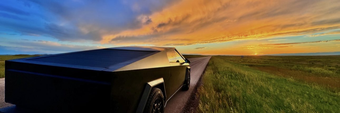
Emmy Award-Winning Storm Chaser over 45 years.4K Extreme Weather Stock. Tesla-Cybertruck https://ts.la/jeff92652 Sales-Radar & Weather Displays & TEDx Speaker
The "Twister" premiere gala at Oklahoma City Golf and Country Club was May 9, 1996. I remember Bill had a crowd of people around him. Bill looks over my way walks over gives a firm handshake. He says Jeff let me buy you a drink. #okwx #twister #billpaxton

A low level jet will continue to bring HIGH levels of rich moisture into Kansas which will cause numerous showers/storms to keep redeveloping now through the overnight hours. Risk is for Flash Flooding will continue to increase mainly in the Pink Circled area! #kswx
11:38am CDT #SPC Public Severe Weather Outlook #PWO concerning #iawx #mnwx #sdwx spc.noaa.gov/products/outlo…
NEW: The moderate risk (level 4/5) for severe weather has been expanded into SE SD, NW IA, and SW MN for this afternoon and through tonight. Damaging winds (75 MPH+), large hail, and tornadoes are all possible as the threat increases for a line of storms to develop.
7:27am CDT #SPC Day1 Outlook Moderate Risk: this afternoon and tonight over portions of eastern South Dakota and southwestern Minnesota. spc.noaa.gov/products/outlo…
12:58am CDT #SPC Day1 Outlook Moderate Risk: for portions of eastern South Dakota into far western Minnesota spc.noaa.gov/products/outlo…
May 12, 2004: a “vortex train” lines up, ready for ingestion into one of the several tornadoes spawned among the Attica tornado family in rural Kansas as seen from DOW-3
Tornado with rainbow during sunset, another TOTY candidate in Yulin, Shanxi Province yesterday.
Rare plateau tornado in Zhouqun village, Qinghai Province on 7/15. This tornado occurred at an altitude around 13000ft, manifesting a sneaky rope out.
Very heavy rainfall has fallen across northwest Saline county. Radar estimates show 4 to 6 inches of rainfall. Flash Flooding risk is HIGH, especially for the green box area which includes the town of Glendale. DO NOT DRIVE INTO FLOODED ROADWAYS! #kswx
[Tornade 🌪️ en Loir-et-Cher ce lundi matin] Ce lundi 21 juillet 2025, peu avant 11h, l'#orage ⛈️ qui a occasionné une #tornade 🌪️ sur le Nord de la Ville de Tours, à l'aéroport, a probablement donné une autre tornade 🌪️ (ou la même ? = à préciser) dans le @departement41, comme à…
Tornado! Touch down at an airport in Tours in the Loire Valley of Northern France this morning 🌪️
Tornado warning for northwestern Todd County until 7 pm CDT/6 pm MDT Sunday. Radar indicated rotation. This storm is also capable of producing golf ball sized hail and is moving southeast at 20 mph. Seek shelter immediately.
Waterspout moving onshore this morning in Panama City Beach… Video from MaryAnn Peacock
2026 Summit will have a training for emergency management, law enforcement, and fire department personnel. I believe there is a major gap in training, and we need more than sky warn type training for LEO/Fire. @chaser_summit will attempt the bridge that gap!
More pictures of the insane shelf cloud moving through Oldham county, KY. This was sent to me by Ricky Gaines.
Flash Flood Warning continues for Kansas City MO, Overland Park KS and Kansas City KS until 6:45 AM CDT
This is pretty crazy…stranded vehicle with water pouring down from the interstate above. 635 & 70 in KCK around 3:15 AM from Scott Pease on his way home from work. @fox4kc #KCwx
🌊Flash flooding is occurring across the Kansas City metro! As of 4:50 AM on 7/17/2025, numerous high-water rescues are taking place. Observed and radar-estimated rainfall amounts between 6'' and 10'' have already fallen, with additional rainfall amounts of up to 2'' expected.…