
Stephenson Wx
@Stephenson_Wx
Engaged Couple Trained Storm Spotters. Weather Fanatics. Greers Ferry Arkansas. Check out our YouTube!
We were hoping to be done with severe weather for a few days, but it doesn't look like that is going to be the case... A few storms could become severe this evening and tonight across northern Arkansas. The main threat with these storms is hail up to one inch in diameter.#arwx
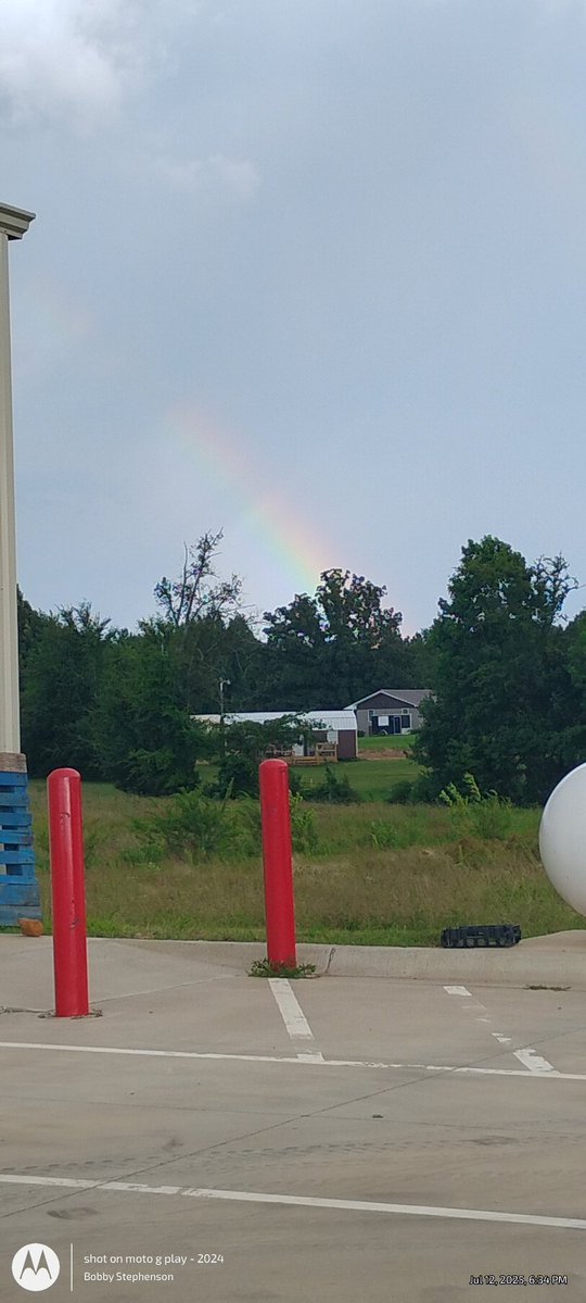
Found the other side of the Rainbow 🌈 in Greers Ferry @KATVJames @ToddYakoubian @NWSLittleRock @ChrisPipkinWx @WxZachary #arwx
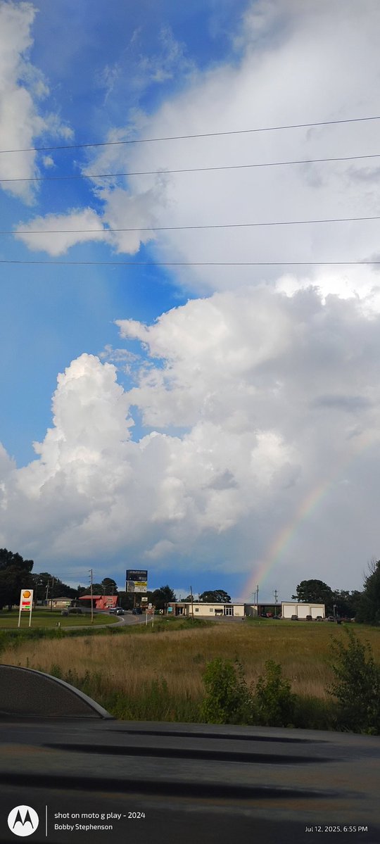


Scenes from Greers Ferry 🌩️ 🌈 @NWSLittleRock @WxZachary @ToddYakoubian @KATVJames @ChrisPipkinWx #arwx


Nadocast tornado probabilities for tomorrow across Arkansas. The risk isn’t high, but’s it not zero either. June tornadoes aren’t necessarily common, but they aren’t unheard of either. Hopefully we avoid any problems.
There will be a chance of severe weather across the state Wednesday afternoon and evening. The northern half of the state will have the best odds with gusty winds and large hail the primary hazards. While the possibility of seeing a tornado is low, it is not zero. #arwx
Tornado of the year
LIGHTNING and TORNADO combo on Freddy McKinney's stream. This tornado has been on the ground for over 45 minutes. Covering this LIVE: youtube.com/watch?v=ltjZj1…
Good morning Arkansas! Muggy air will be the mainstay, along with daily rain and thunderstorm chances beginning this evening. Some locally excessive rainfall/flooding will be possible through Saturday as well, with between 2 to 5 inches of rain anticipated by Sunday. #arwx
The chance for strong to severe thunderstorms are expected to continue through the weekend and into Monday as multiple rounds of rain track across the state. Severe weather will be a concern all three days in addition to the heavy rainfall threat. #arwx
Heavy rain has fallen across much of the state over the past 24 hours with as much as 4 to 6" of rain. More rain is expected through Tues. as the active pattern continues. The heaviest of the rain over will be centered over the south where flooding concerns are the highest. #arwx
Another complex of thunderstorms will move into northern Arkansas from the west this morning and spread to the southeast during the day. The primary concerns will be strong gusty winds, possibly in excess of 60 mph. Large hail will also be possible with the stronger storms. #arwx
Thunderstorms across Texas and Oklahoma continue to explode as another MCS (mesoscale convective system) gets organized. Computer guidance is struggling where this system ends up going but parts of Arkansas could be under the gun towards sunrise. #arwx
Greers Ferry just now knocked out power small hail and swirling wind @NWSLittleRock #arwx
A special weather statement has been issued for Fairfield Bay AR, Greers Ferry AR and Shirley AR until 5:15 PM CDT
Severe Thunderstorm Warning including Mountain View AR, Melbourne AR and Calico Rock AR until 12:00 AM CDT
CONFIRMED... EF1 tornado 2 miles east of DeGray Lake early Tuesday morning. Peak wind 110mph. This is the 44th tornado so far this year. Average is 37. #ARWX #ARStormTeam @KARK4News
A tornado watch has been issued for parts of Arkansas, Illinois, Kentucky, Mississippi, Missouri and Tennessee until 8 PM CDT
Severe storm chances continue today. This morning's storms may become strong to severe as they move across the area. However, the greater severe threat manifests this afternoon as supercells fire along the MS River. More information: weather.gov/media/meg/DSSB…
Severe Thunderstorm Warning including Little Rock AR, North Little Rock AR and Conway AR until 4:30 AM CDT
Severe Thunderstorm Warning including White Hall AR, Sheridan AR and Redfield AR until 4:00 AM CDT
A severe thunderstorm watch has been issued for parts of Arkansas, Louisiana, Oklahoma and Texas until 8 AM CDT