Dylan Federico
@DylanFedericoWX
Meteorologist | Hurricane Specialist | Hurricane Chaser | NOLA Native
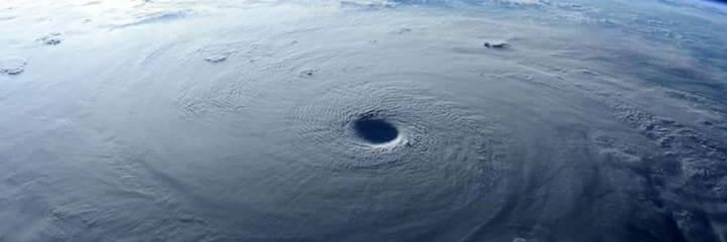
Time to party like it’s 2022!
Good example of anticyclonic wavebreaking in the Atlantic to end the month. This will encourage TUTT formation with the higher PV air dipping south. This also leads to anticyclogenesis, creating a strong high pressure, which will dump drier air into the eastern Atlantic. Should…
Thursday evening discussion on the state of the Atlantic tropics as we round out July. Mixed signals with some large-scale hostile conditions out there, but also hints of things waking up as we head into August. youtu.be/8JhbbEBoMv8
Went over this signal in my video discussion today… youtu.be/hmXTixbYs8w?si…
A vigorous tropical wave bears watching as it approaches the Lesser Antilles towards the end of next week. EURO Ensembles and the highly-touted Google AI are starting to sniff out tropical mischief. A reminder that August is right around the corner. Next name is #DEXTER. 🌀
A vigorous tropical wave bears watching as it approaches the Lesser Antilles towards the end of next week. EURO Ensembles and the highly-touted Google AI are starting to sniff out tropical mischief. A reminder that August is right around the corner. Next name is #DEXTER. 🌀
The National Hurricane Center is now mentioning the northern Gulf as a spot to watch for tropical mischief this week. Models aren’t excited about this but either way this will bring a flood threat to the north gulf coast this week. Next name is #Dexter. #TropicalUpdate 🌀🍋


NEW - We now have Invest #94L in the tropical Atlantic. I wouldn’t be shocked if this briefly became a depression or weak tropical storm before reaching the Islands. I’m not worried about it long-term though, hostile conditions in the Caribbean will likely destroy it midweek.…

We now have INVEST #94L in the tropical Atlantic. I wouldn’t be shocked if this briefly became a depression or weak tropical storm before reaching the Islands. However, hostile conditions in the Caribbean will likely shred it midweek. Next name is #Dexter. #TropicalUpdate 🌀🍋

Another strobe light show this evening in central FL. @spann @DylanFedericoWX @WeatherNation

Heavy rain from #93L moving into NOLA Metro
A stormy night setting up with embedded heavy rains. Tropical downpours are rotating in from the Chandeleur Islands and Coastal MS. Be ready for periods into the night of heavy rains, especially south of the lake and places along I-12. #lawx
We might need to call the blood splatter guy to examine this thing on satellite.
Invest #93L looks like a plate of scrambled eggs this morning on satellite. I thought it made a run at depression status yesterday, but this thing is a mess and has a long way to go before being named #Dexter. #TropicalUpdate #lawx 🌀
Invest #93L looks like a plate of scrambled eggs this morning on satellite. I thought it made a run at depression status yesterday, but this thing is a mess and has a long way to go before being named #Dexter. #TropicalUpdate #lawx 🌀
A prolific lightning storm offshore is producing some crazy viewing from the coast. This from Orange Beach 🎥 Tony Lejarza
NEW MODELS bring Invest #93L straight into Louisiana on Friday. Keep in mind if the center reforms south tonight so will the models. A track further offshore would mean it’s more likely this gets named #Dexter. I still think a tropical storm is the ceiling. #TropicalUpdate 🌀

INVEST #93L is now in the Gulf tonight. How far it tracks offshore will be the deciding factor as to whether or not this becomes Tropical Storm #Dexter before landfall in Louisiana on Friday. Either way, heavy flooding rain is the main threat. #TropicalUpdate #lawx 🌀
The low level circulation of Invest #93L has become well defined while crossing Florida today. I think this has a good shot at becoming #Dexter if the center can reform a bit to the south over the Gulf tonight. #tropicalupdate 🌀
INVEST #93L looks very impressive on radar as it crosses the Florida Peninsula. The big question is does it stay far enough south to re-emerge in the Gulf tomorrow? That will be a huge factor in its future strength and impacts along the Gulf Coast. Next name is #Dexter. 🌀
INVEST #93L has made its first landfall near St. Augustine in the Florida Peninsula. Current WNW motion would send it into the Florida Panhandle. Its center will need to reform further south in the Gulf to have a chance of strengthening later this week. #TropicalUpdate #flwx 🌀
