Ryan Kane
@ryankanerWX
Meteorologist @Norcastweather || Terps Atmospheric Science Degree 🐢 || East Coast & MD Weather Updates || Golfer || Summer '23 Intern @wbaltv11
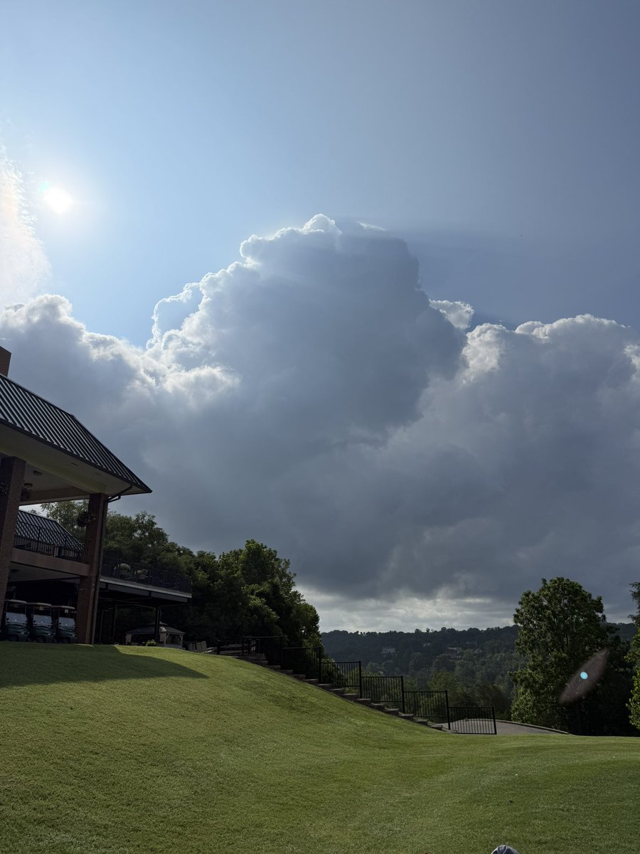
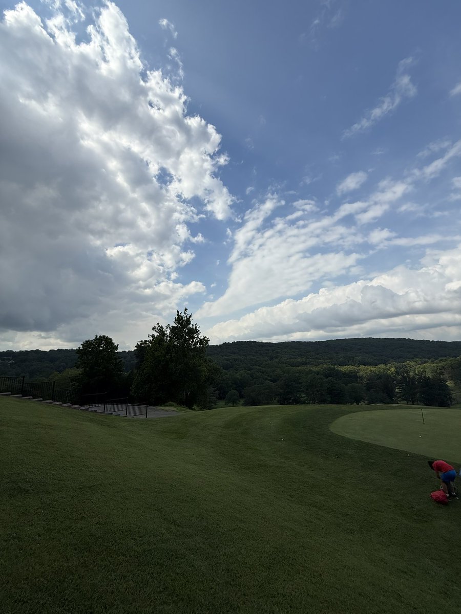
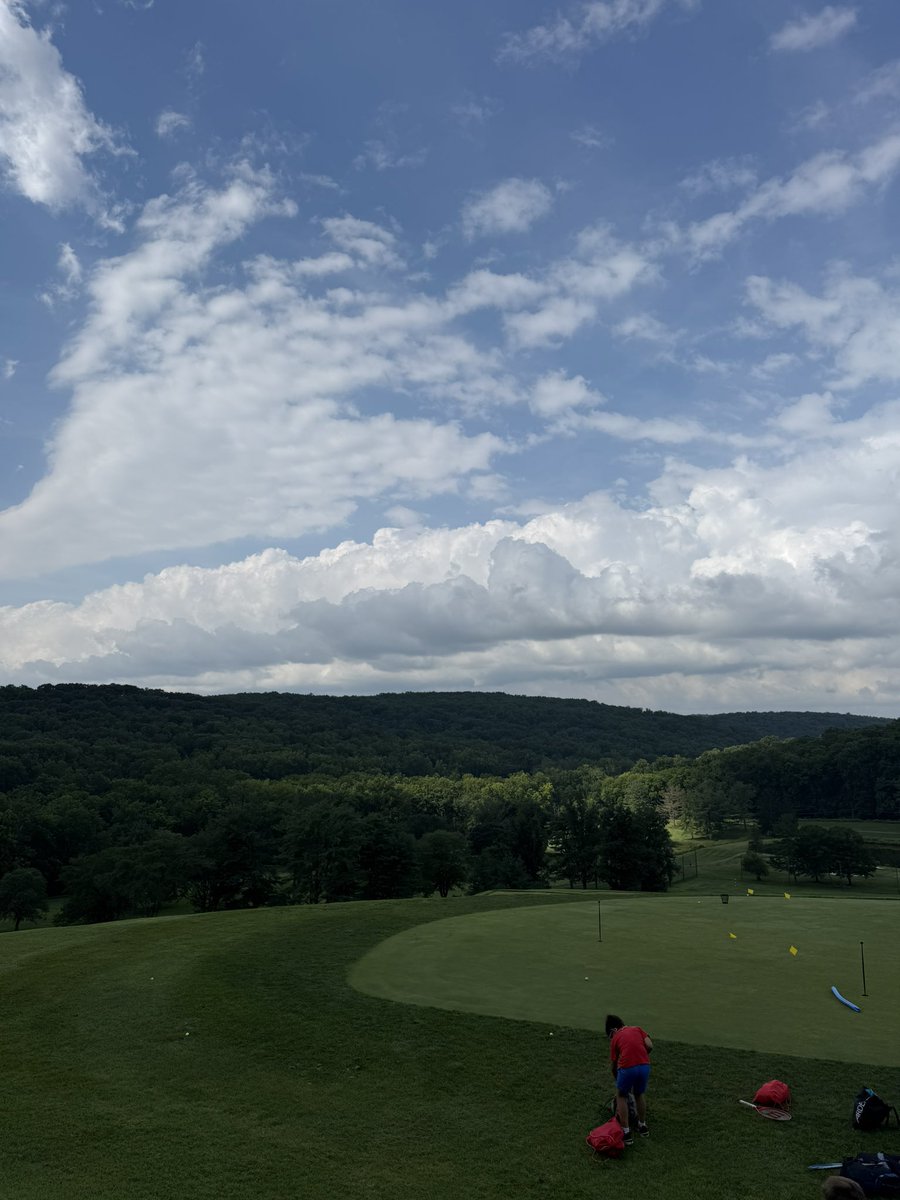
Already noticing the uptick in humidity with this big developing cumulus #MdWx
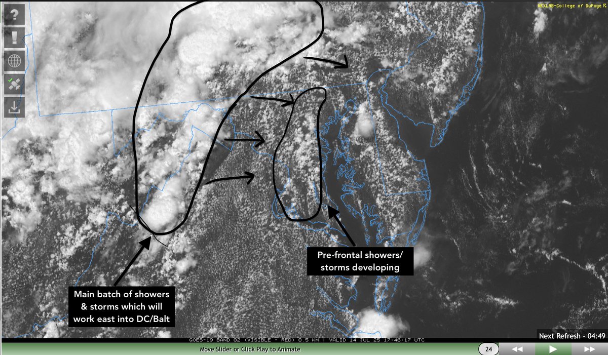
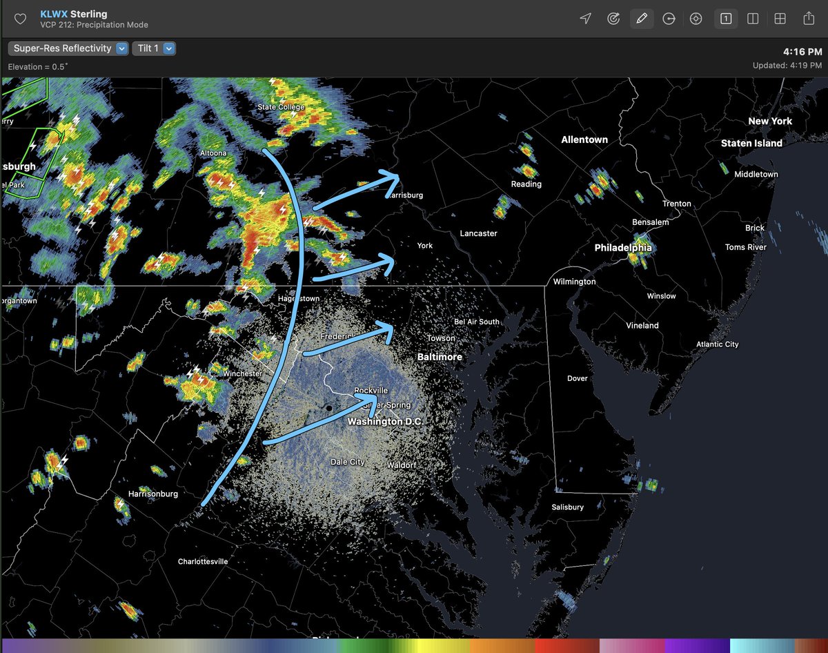
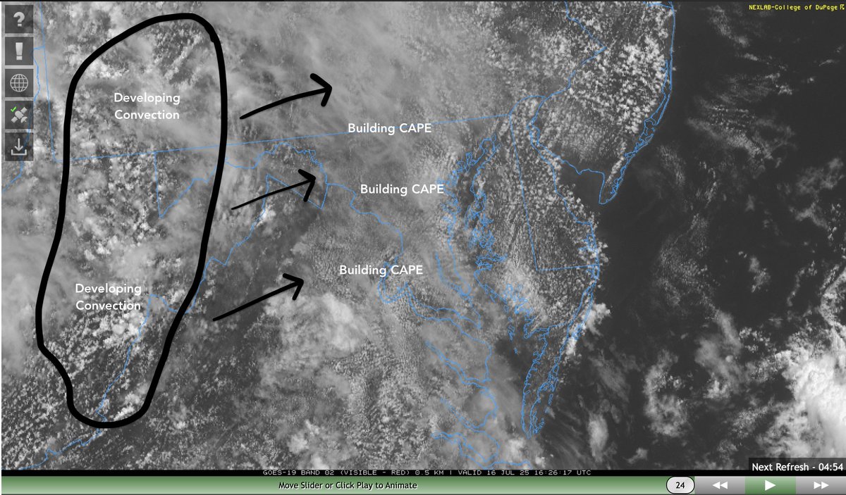
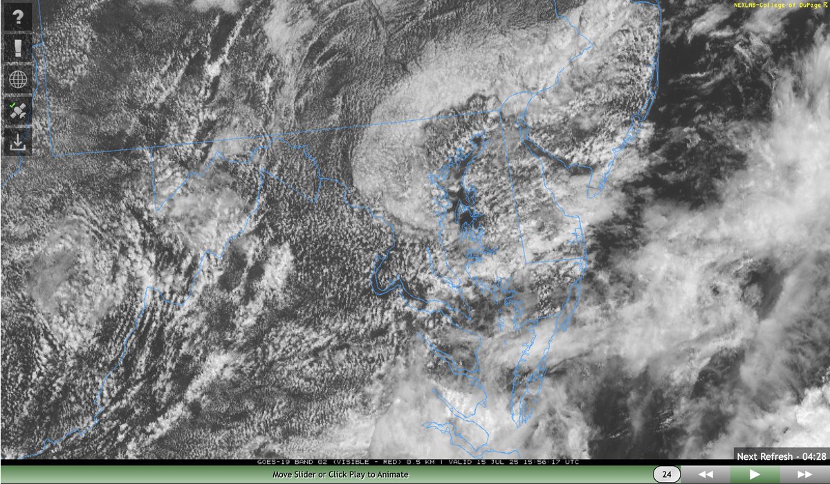
The current visible satellite paints a good picture of what's occurring. Sctd cells developing ahead of main lifting mechanism off bay breeze boundary. More organized area of convection is ~70 miles west of Bmore moving ~20-25 mph. Meaning worst weather moves through 4-8pm. #MdWx
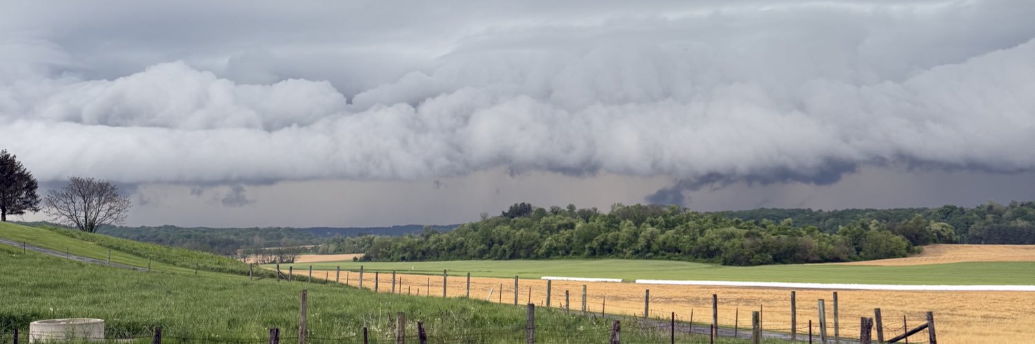
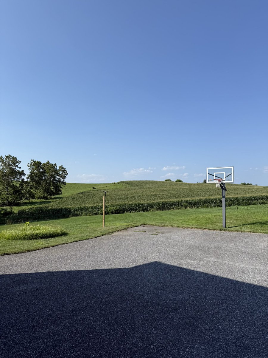
Nice horizontal convective rolls out here in northern MD this morning. Areas of upward motion & sinking motion in between. #MdWx
I forgot how nice low humidity days are…. everyone enjoy this fantastic weather the rest of today & tomorrow. Things start to heat back up Wednesday into the weekend & humidity will ramp back up as well. #MdWx
Tuesday will be the best day in awhile with northerly flow bringing temperatures to near 80˚F. Dry airmass with low humidity expected
Radar Update (6:20 PM): Heavy rain has moved into parts of Howard and Anne Arundel Counties. Flooding is possible in these areas. The rain is drifting ENE, and could move towards Baltimore City/Baltimore County in the next few hours.
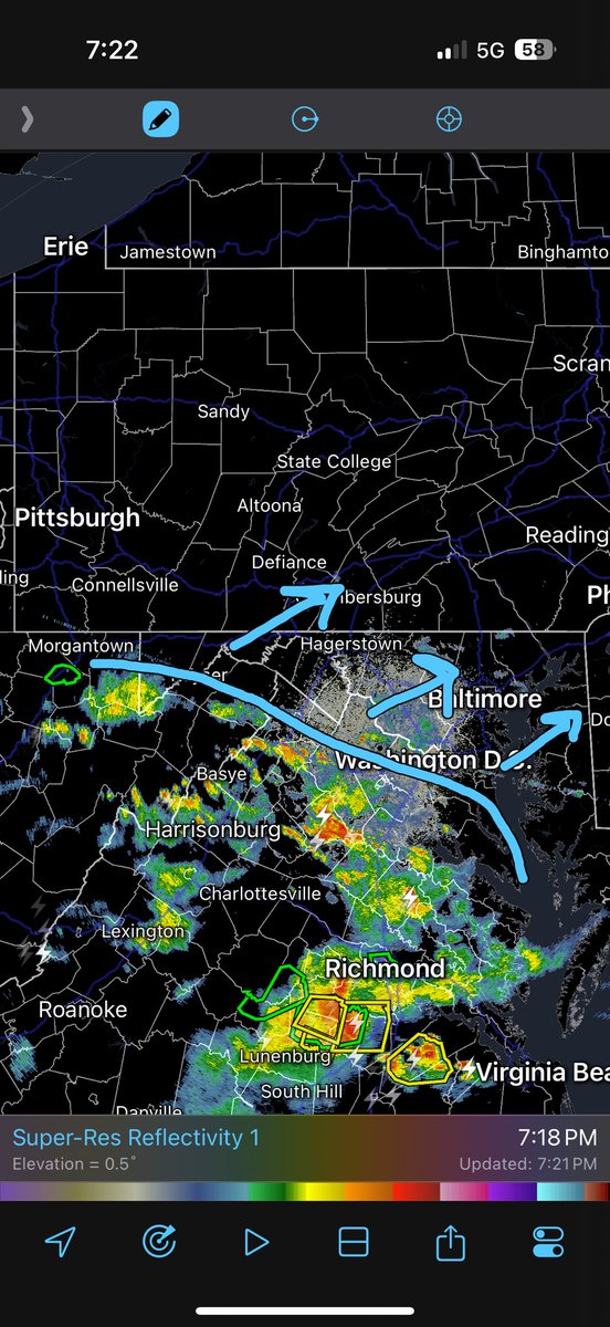
Activity has begun in the DC area & slowly pushing north/northeast off an outflow boundary towards Baltimore… north of Baltimore is where things are more iffy as storm parameters are not as ideal #MdWx
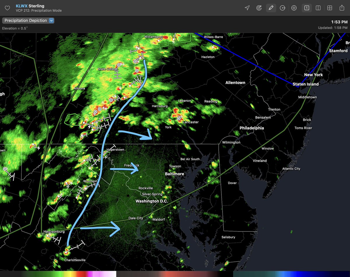
Watching an area of showers and storms that will track east into the Balt/Wash area this afternoon. With high PWAT's >2.0", any shower/storm will be very efficient rainmakers. More scattered convection is possible ahead of this cluster. #MdWx
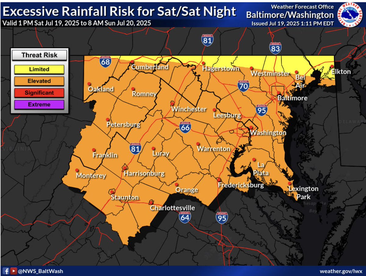
Boundary pushing northeast will bring the chance for some overnight showers and storms… DC & Baltimore keep an eye out from 11-3am… showers may linger across northern MD until sunrise/just after #MdWx
Shower activity is beginning to push into western MD. Chance for showers exists around DC/Baltimore after 3/4pm… widely scattered shower & storm activity is possible overnight into early Saturday morning as a stationary boundary slowly drifts north. #MdWx
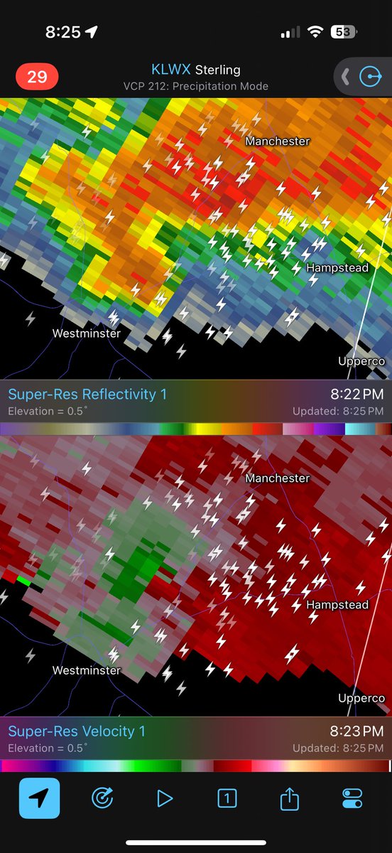
Definitely a rotating supercell northeast of Westminster with a potential tornado near the ground!! No warning yet but very ominous storm. #MdWx
Storms rolling in from the west/southwest. Localized flooding is possible over the next 3 hours! Lots of cloud to ground lightning with these cells. Stay safe this evening! #MdWx
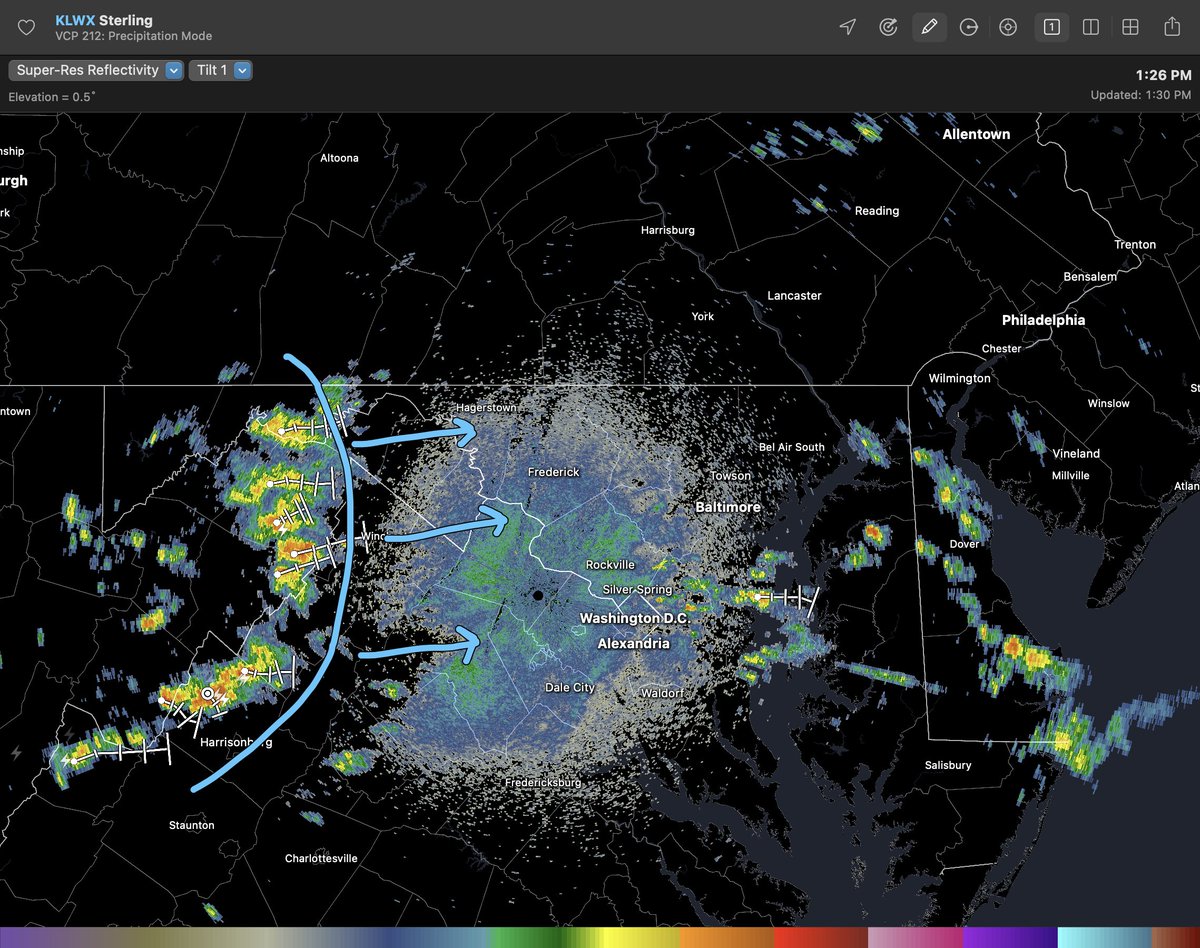
Storms are roughly 70 miles west of DC/Balt moving at about 15-20mph to the east. Over the next two hours, I expect a more organized cluster of storms to form as energy moves east of the Blue Ridge. Thinking worst is 6-10pm for DC/Balt... slightly later than my earlier forecast.
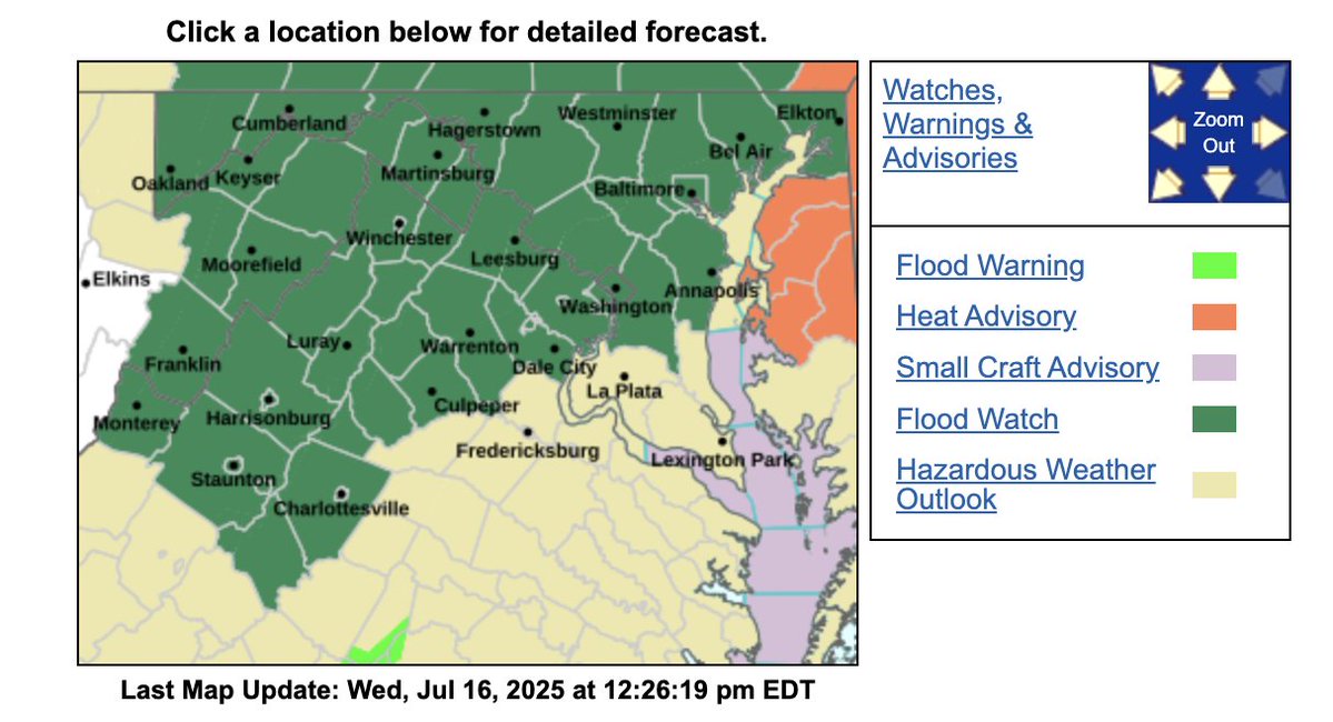
Very hot & humid out there today. Some upper level clouds moving through with low level cumulus in place as well. Convection is beginning to develop across western MD/PA & eastern WV. Flood watch just issued from 5pm-midnight. Still think worst comes through DC/Batl 5-9pm. #MdWx
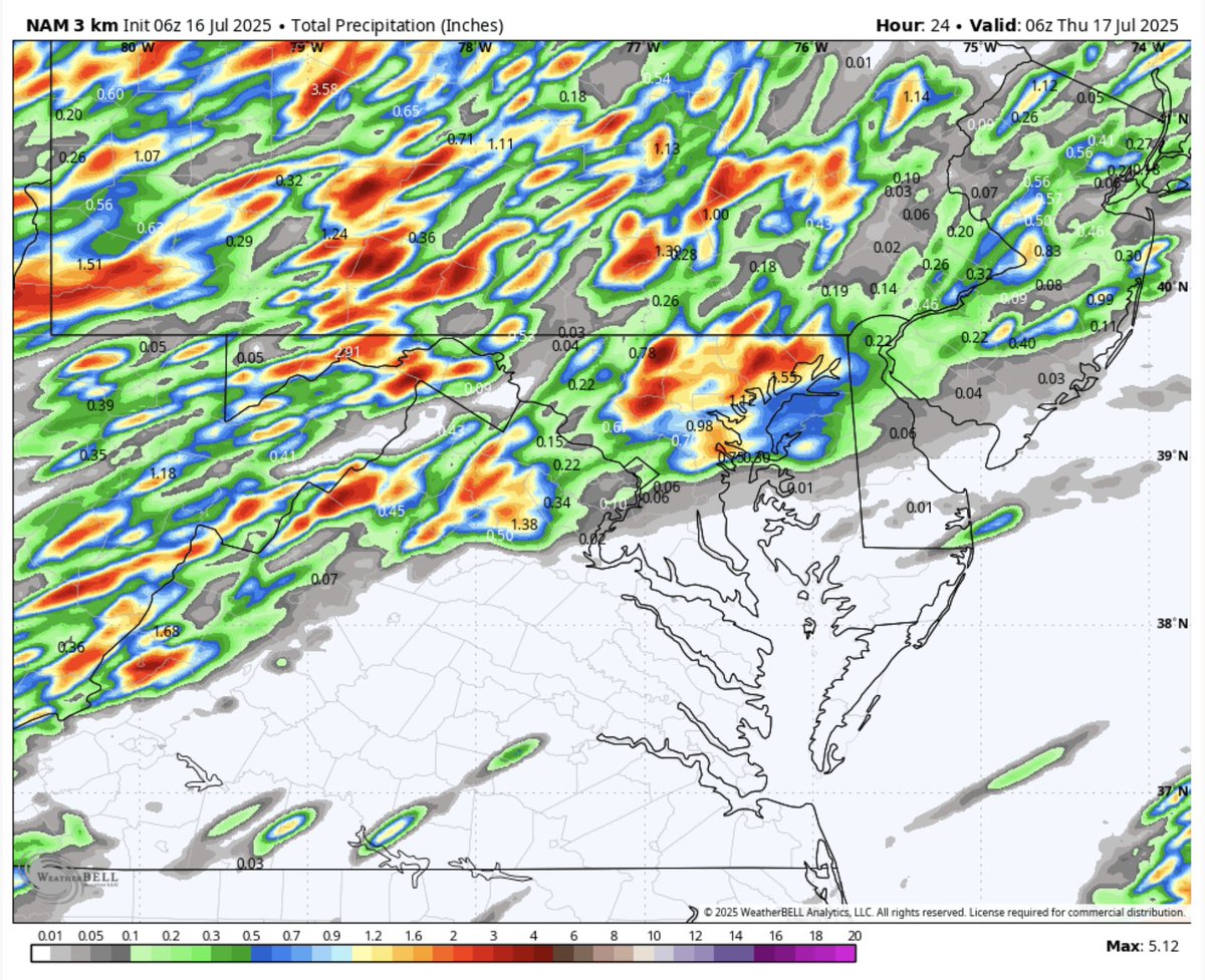
Another active day of showers & storms likely for areas near and north of DC. More flooding is possible with PWATs above 2". Timing will be from 5pm-9pm across DC/Balt. NAM shows some 2-3" rainfall amounts. Stay safe! #MdWx
A much needed break from the storms for majority of MD today. Storm activity will be confined south of DC. Current satellite shows widespread cumulus with sunshine breaking out. It will be warm & very humid. Widespread showers & storms return tom with more flooding possible #MdWx
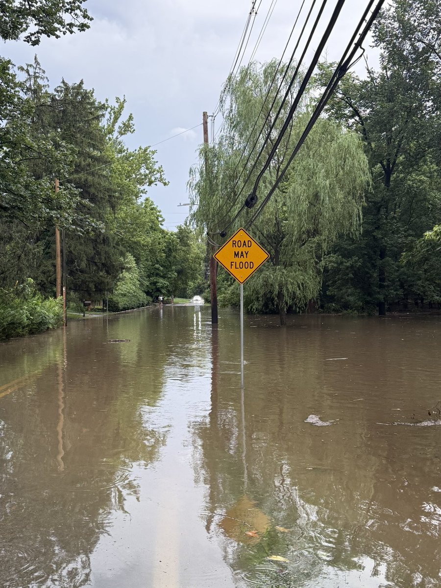
Flooding in Ruxton MD on Ruxton road after 2 inches of rain. #MdWx @NWS_BaltWash
#WPC_MD 0685 affecting Mid-Atlantic, #nywx #njwx #pawx #dewx #mdwx #dcwx #vawx #wvwx, wpc.ncep.noaa.gov/metwatch/metwa…