Brendan Ashworth
@normconstant
making maps except really, really quickly. building open source web gis at http://mundi.ai
Check this out! ... the future is here!
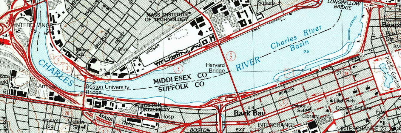
Today we're launching Kue, an AI assistant inside QGIS. Kue can edit your project by styling layers, filtering with SQL, run any geoprocessing algorithm, and search both the internet and your hard drive for datasets:

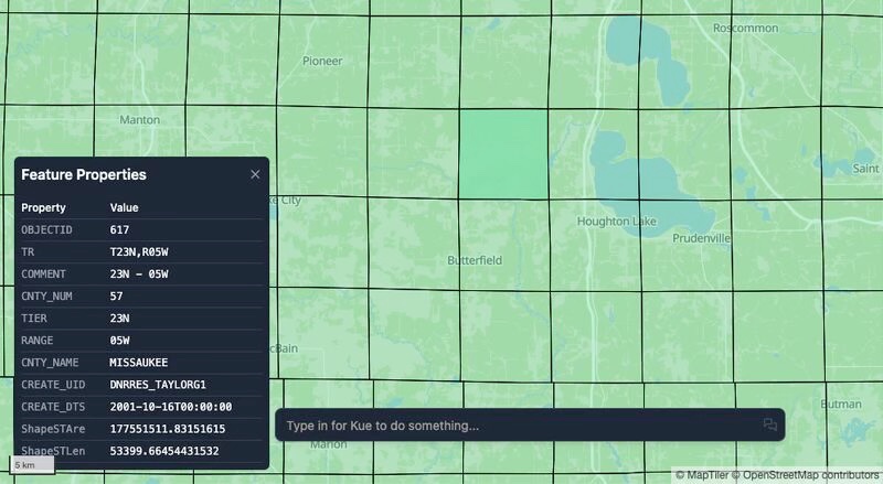
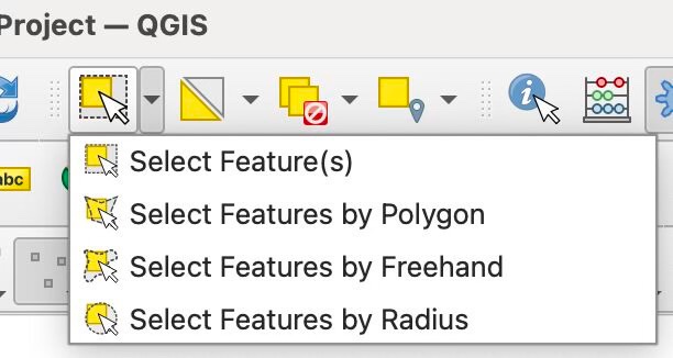
redesigned the basic layer and feature operations in Mundi, our open source web GIS yesterday is it possible to make a web GIS simple (easy to adopt) without sacrificing functionality? QGIS has 12 different operations for selecting features but MapLibre maps tend to have 1 or 2…
We’re launching Mundi, the first open-source web GIS built for AI. After years of training geospatial AI models, we decided now is the moment to build the GIS software of the next decade. After the AI Vectorizer, Georeferencer, and Kue (our LLM agent inside QGIS), we realized…
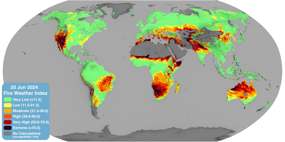
This week, we will be showing some of our research into how we can integrate AI with GIS. The first is AI generated symbology! Kue has the ability to consider what a layer represents and create the best symbology for it. In this case, Kue styles a drought map
OpenAI's latest model, GPT-4.1, is now live in #QGIS through the Kue plugin with all new chats! Every time a new model is released we evaluate it internally, and 4.1 was so strong we decided to upgrade all users for better performance
Along with some major updates to Kue (coming soon 👀), we've been building a major update to our AI aerial/satellite imagery georeferencer! Check it out here, we'll be making it publicly available very soon
"You don't need to clean the data, I'm sure it's fine." The data in question:
Excited to announce @tryandai's $6.5M seed round led by @firstround and the launch of Andy, the first AI agent for patent attorneys. We're on a mission to transform how attorneys work with professional-grade AI.
The mistral team is in for a big surprise when they get back from holiday next month!
To make Kue—our AI GIS assistant—more user friendly we've translated it into 21 new languages! Now, Kue uses your QGIS' preferences to determine which language to work with you in. If you want to try it out, download the Kue plugin in #QGIS 🗺️
In QGIS it's hard to get geoprocessing right the first time, if it's even possible to do it in just one step. Now, Kue can learn from its own mistakes and plan multiple steps ahead. This makes questions that need multiple difficult geoprocessing algorithms possible to be…
New Video: Exploring the Kue plugin: an #AI Chatbot for #QGIS by @BuntingLabs 🌍✨ Simplify geoprocessing tasks with AI. Highlights: installation, base maps, styling, analyses & more. 🔔 Subscribe for more! #QGIS #AI #GeoAI #GIS youtu.be/hQJ1SuyyvT8
You can now add #OpenStreetMap data to your QGIS project with AI! With Kue v 1.7, you can ask for any OSM feature in an area and it will add it as a new vector layer complete with the metedata as attributes In 1.7 you can also ask for SQL and geoprocessing in the same prompt
🗺️ How LLMs will change #GIS: working with GIS will become something easily accessible to anyone who wants to get started Instead of needing to know the specifics of geoprocessing, SQL, and different styling options, you can just explain what you want Kue to do
Can AI complete a college-level Iowa State GIS homework assignment? 🤯 @MichaelEBunting puts Kue, our new QGIS plugin, to the test 👀
🗺️ Our AI #GIS assistant Kue can now handle multi-step reasoning! You can ask it to do two geoprocessing steps and it will break it down and run them sequentially. If you want to try it out go to the QGIS manage and install plugins window and search for Kue!
Kue was my tool for day 13 of the #30DayMapChallenge. I wanted to visualize which california parks I'd see only one type of bunting in. Kue helped me run geoprocessing and find the right datasets on my computer!