Corey Bull
@coreycloudburst
@iastormchasing storm chaser. Hobbyist storm chaser based in southern Wisconsin. I do not tweet much, mostly here to look or make storm reports when needed.
Hoping chasers and weather enthusiasts, PLEASE calm it down with the hyperbole in 2025... w/ @JustonStrmRider
ISCN storm chaser @coreycloudburst captured this tornado near Prairie Du Sac, Wisconsin around 1:30PM Wednesday.
Near Prarie Du Sac, #WI a short bit ago #tornado #WIwx #wx #wxtwitter @NWSMilwaukee @NWSLaCrosse

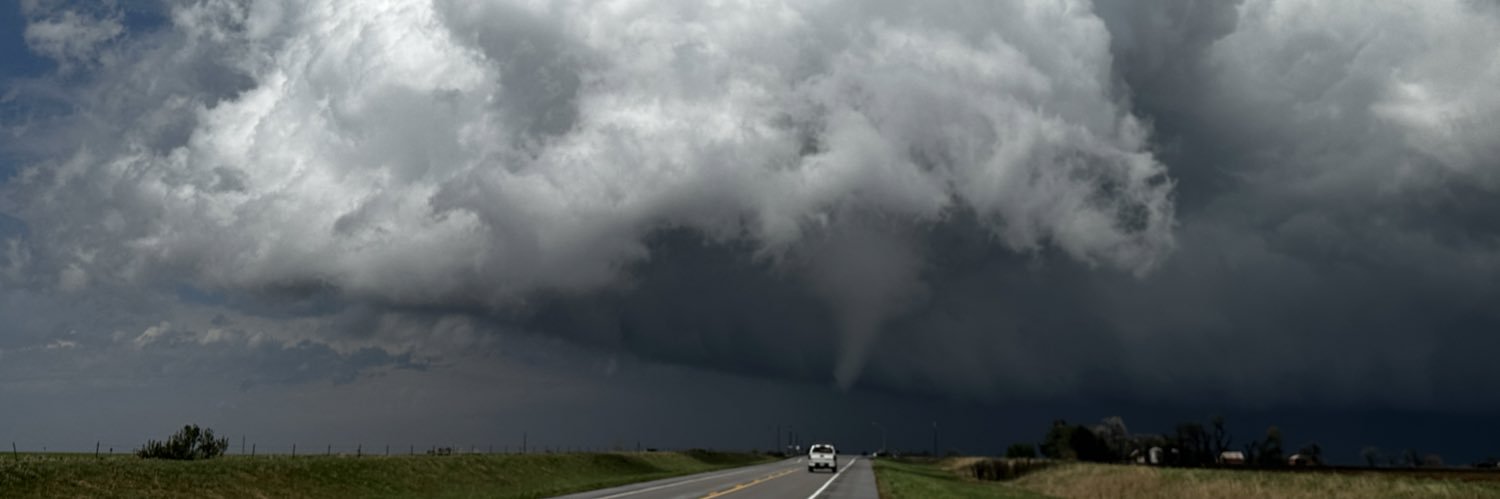
ISCN storm chaser Corey Bull (@coreycloudburst) filmed this tornado Wednesday afternoon just west of Petersburg, Illinois.
Petersburg, #IL #tornado earlier #ILwx #wx #wxtwitter @NWSLincolnIL

Floyd, NM tornado sequence. Estimated start time was 5:18 p.m. and rope out at 5:40 p.m. Photos captured at 5:21, 5:25, 5:31 and 5:38 p.m. this evening. @NWSAlbuquerque
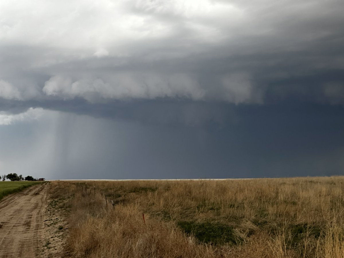
Strong rotation at cloud base and some scud at times Dana, IL @NWSChicago @NWSLincolnIL sorry not sure which WFO


Twas a fun day south of OKC. #OKwx #Oklahoma #OKC #wxtwitter


Forecast models are essential tools—but if you don’t understand their limitations, they’ll lead you straight into a bust. Here are the biggest caveats and rules Kyle teaches about using models for storm chasing. 🧵(1/20)
What if I told you shelf clouds and gust fronts come with all sorts of turbulence and Eddie swirls that act independently of the surface outflow winds below them.

S of Hugo just now possible funnel @NWSPueblo #cowx #wxtwitter
Funnel up high in the updrafts near Denver City, TX! #txwx #wxtwitter

very thick fog Elkhorn, WI can only see about 30 yards right now @NWSMilwaukee