CNG
@cloudnativegeo
Where geospatial data users create the future together.
🆕 #CNG2025 session recording See how @tileboxio uses S2 Geometry for fast spatial queries on massive datasets. Lukas Bindreiter hows their polygon indexing for scalable catalogs ▶️ youtu.be/s0lZd5I64RU

🆕 #CNG2025 session recording @echarles from @DatalayerIO shows how to use AI to write and run Jupyter notebooks for you! This means less time coding, more time on insights. ▶️ youtu.be/cu1pOCeR-9Y

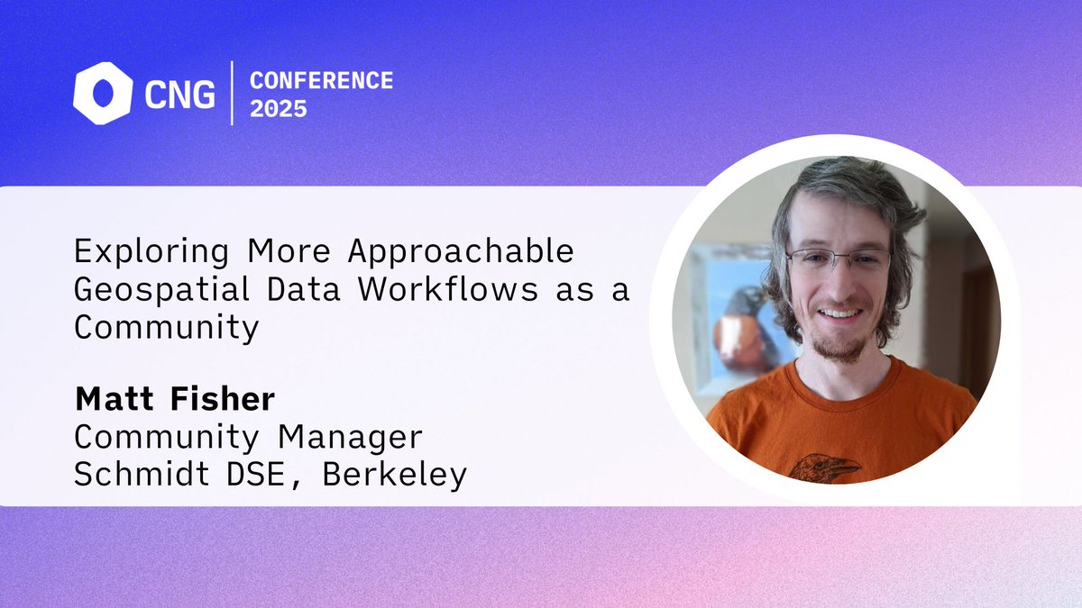
🆕 #CNG2025 session recording Tired of emailing map files back and forth for collaboration? Watch Matt Fisher from @UCBerkeley's talk on GeoJupyter and JupyterGIS to see how they're making it easier with live demos and real-time collaboration ▶️ youtu.be/wRbt4dwDI-4

🆕 #CNG2025 session recording Watch this presentation by Nathan Swain from @Aquaveo, creator of the open-source Tethys Platform that's designed for Earth & water resource scientists to build web applications that work with spatial & time-series data. ▶️ youtu.be/w_KPiIyXXac

🆕 #CNG2025 session recording Want to know how a gov agency achieved 80% cost savings by moving to an open-source cloud-native geospatial data lake? Greg van Gaans, geo data science & analytics dir at @sagovau, shares all the details in this talk ▶️ youtu.be/Uj9sv63PxbQ

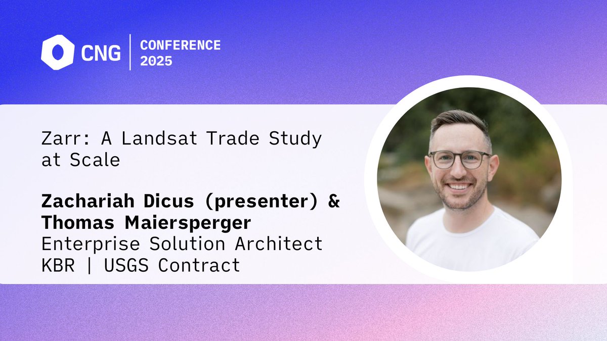
🆕 #CNG2025 session recording Watch Zachariah Dicus' talk on migrating @USGSLandsat data from @cogeotiff to the @zarr_dev format; based on a USGS study, Zarr shows potential for storage efficiency ▶️ youtu.be/CUPJ48LbCX8

Now available, @RegrowAg's Jeff Albrecht's #CNG2025 talk on whether the @cogeotiff data format is scalable. Jeff shares his insights from working with COGs, including the pain points and solutions for serving COG data ▶️ youtu.be/-9tNOBRidVA

🆕 #CNG2025 session recording @kylebarron2 from @developmentseed introduces Obstore, a python library he wrote to access data on the cloud. Watch his talk to hear about the motivations for writing Obstore & its details ▶️ youtu.be/Wxh1G2oCZiU

#CNG2025 Lightning Talk You've probably heard of @CARTO's RaQuet, a new standard of raster data for the cloud. Watch @michalmigurski's talk to learn more, plus get a micro-history of @GeoParquet and what's next for raster analytics ▶️ youtu.be/KzDrdhjxf7U

The final #CNG2025 keynote is here! Revisit @IDC's @Schneider_ly as she shares insights on aligning geospatial innovation with stakeholder priorities. Watch now on YouTube ▶️ youtu.be/55t1QB5imdI

🆕 #CNG2025 session recording Aashish Panta presents their 3-step solution to making peta-scale #climatedata more accessible and interactively analyzable ▶️ youtu.be/cuSXKo_PiCQ

Overture Maps launches GERS, a global standard for interoperable geospatial IDs, to drive data interoperability. See below 👇🏽
🚀 Overture’s GERS is now GA! #GERS makes data sharing, onboarding, and joining easier via common, open, accessible IDs. ⏱️Cut data integration time & cost 🔓No vendor lock-in with open ecosystem 🧩Simple joins, not complex conflations 🔗 Learn more: hubs.la/Q03tzNjg0
🚀 Overture’s GERS is now GA! #GERS makes data sharing, onboarding, and joining easier via common, open, accessible IDs. ⏱️Cut data integration time & cost 🔓No vendor lock-in with open ecosystem 🧩Simple joins, not complex conflations 🔗 Learn more: hubs.la/Q03tzNjg0