Overture Maps Foundation
@OvertureMaps
Collaborative effort to develop interoperable open map data for mapping services worldwide | @linuxfoundation open source project
🚀 Overture’s GERS is now GA! #GERS makes data sharing, onboarding, and joining easier via common, open, accessible IDs. ⏱️Cut data integration time & cost 🔓No vendor lock-in with open ecosystem 🧩Simple joins, not complex conflations 🔗 Learn more: hubs.la/Q03tzNjg0

📢 Overture 2025-07-23.0 is live! This month brings new Brazil buildings data, improved tagging, and expanded Türkiye coverage — part of our 12-month streak of on-time open data drops since GA.🛤️ Grab the latest #opendata → docs.overturemaps.org/blog/2025/07/2…
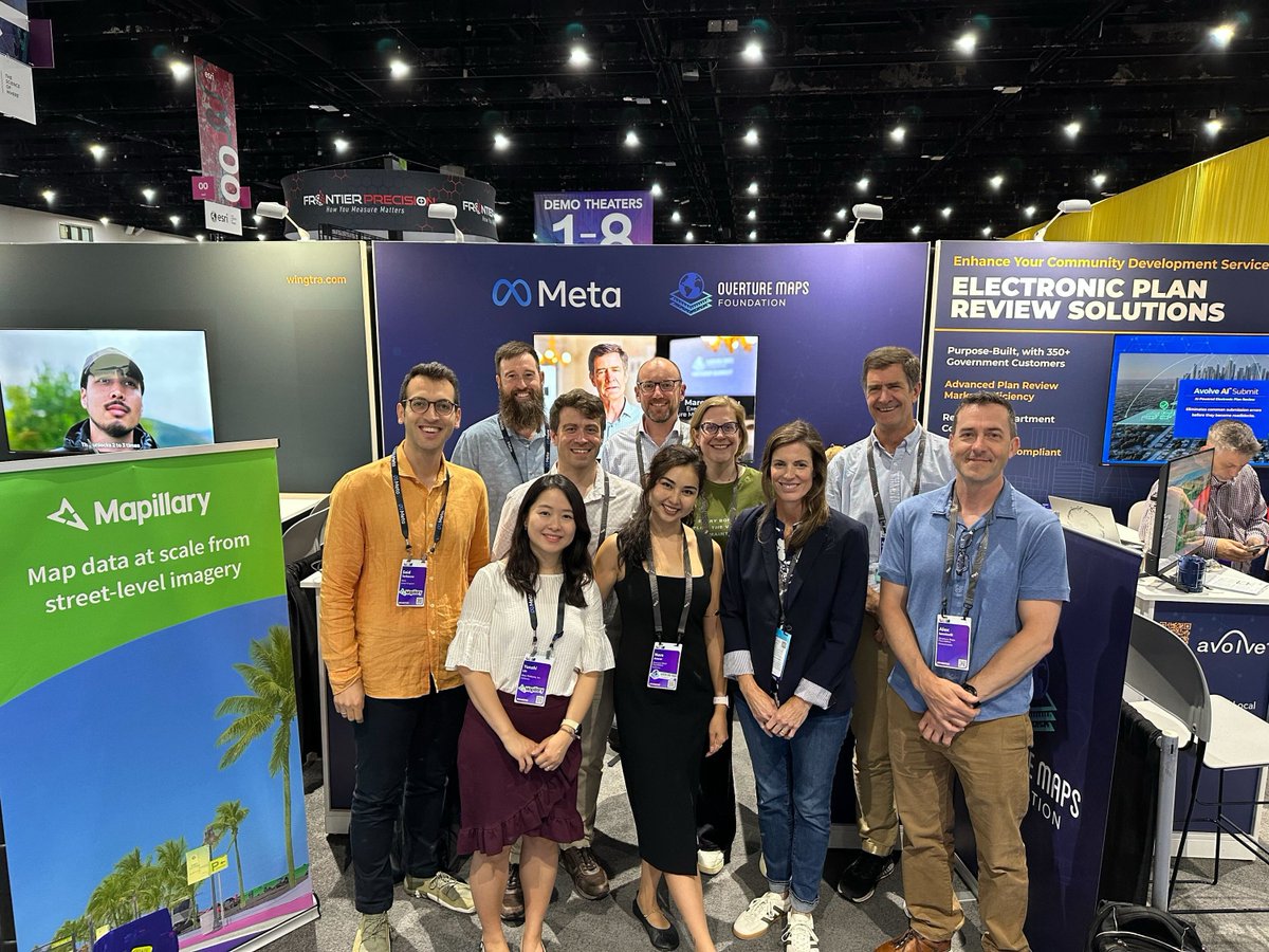
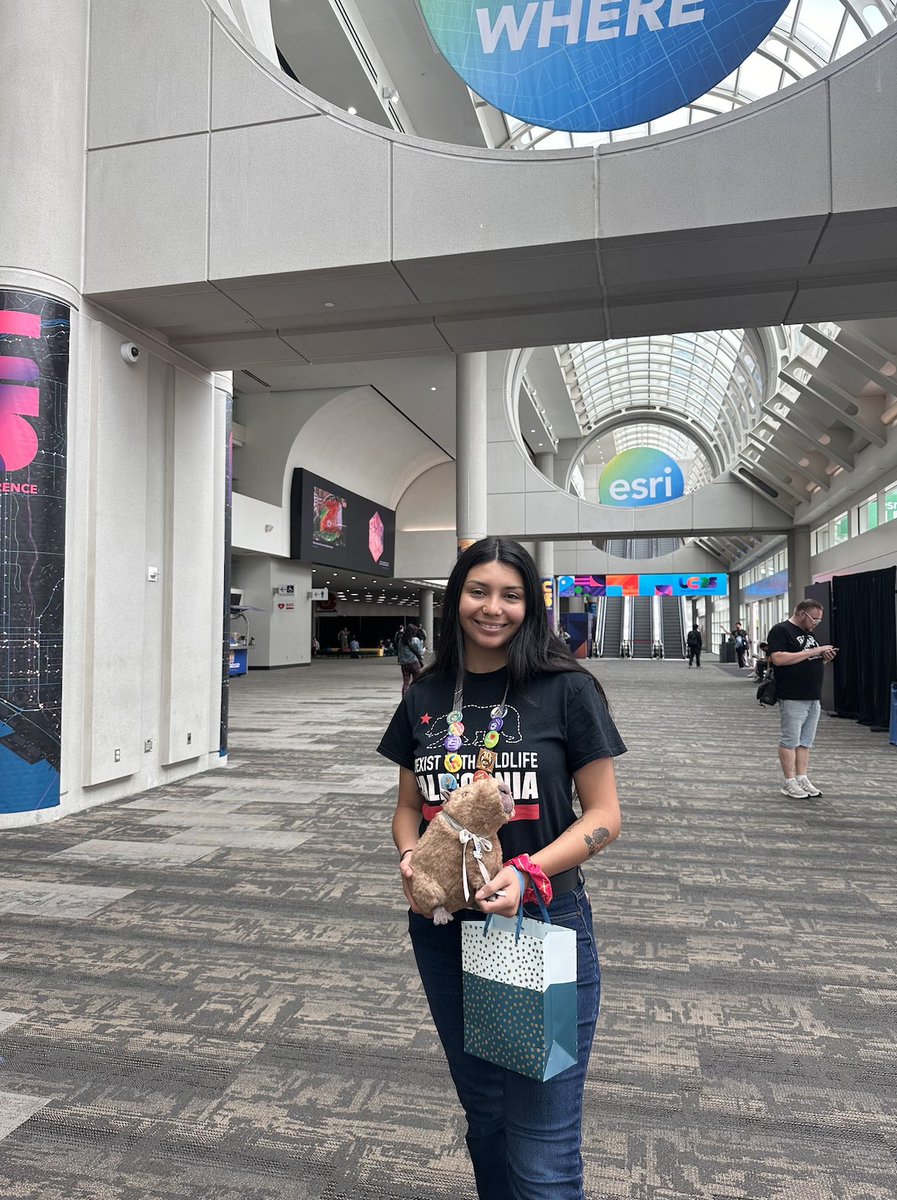
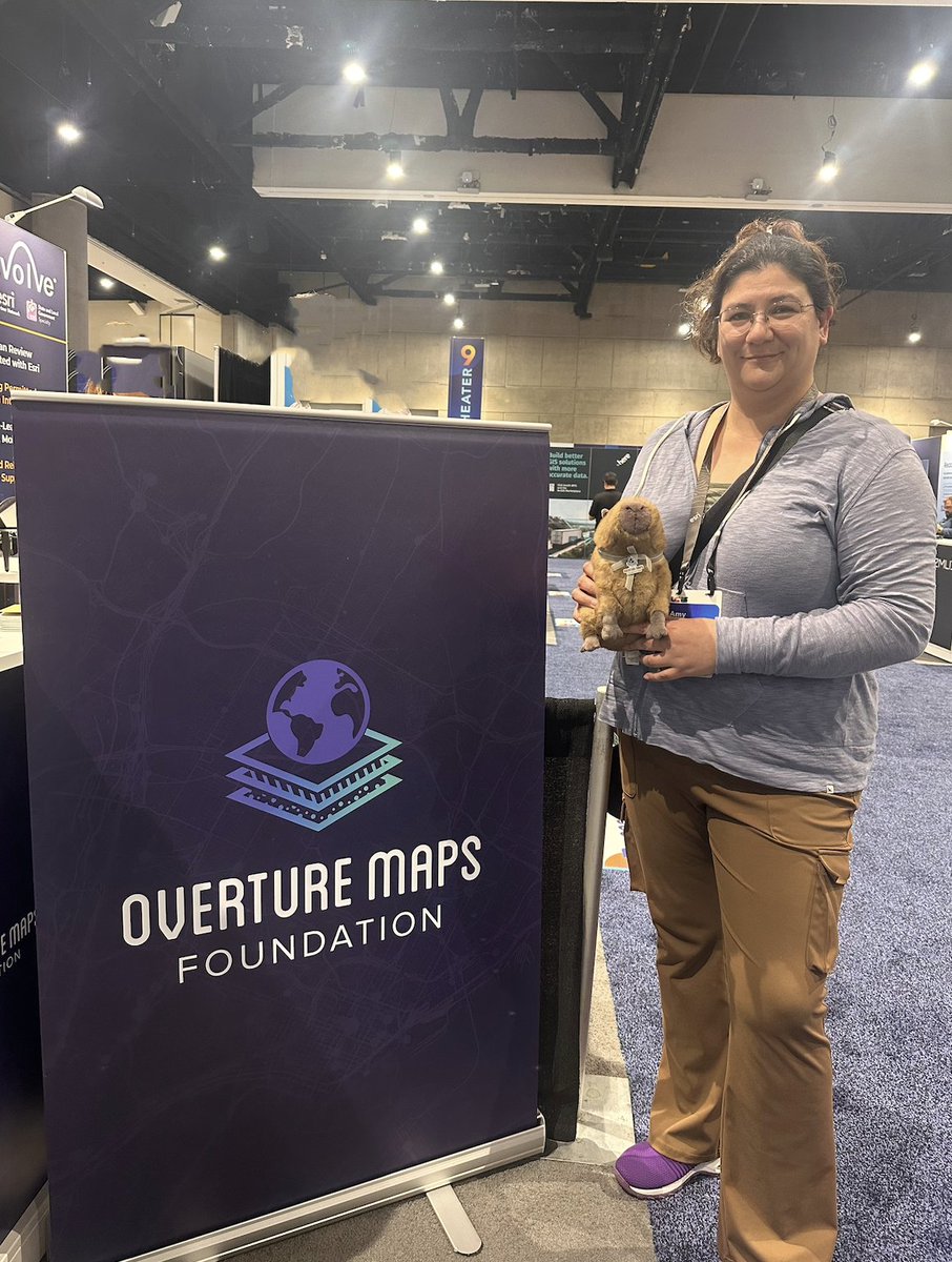
That’s a wrap on #EsriUC2025! Thanks to everyone who visited #OvertureMaps, joined the Passport Adventure with @awscloud, @Meta, @TomTom, @Maxar, @nearmap & @conterra , and congrats to our Capybara winners 🧸✨ Grateful for this amazing community 💛
🌍 At #EsriUC, Executive Director Prioleau shared how the “conflation tax” is slowing geospatial innovation. When IDs don’t align, teams spend more time merging than analyzing. #OvertureMaps + #GERS are here to fix that. Come see us at booth #266!
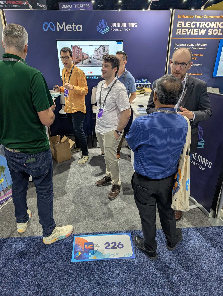
👋 Hello #EsriUC! Team #OvertureMaps is officially here at Booth #226 with our partner @Meta — and we can’t wait to connect with all of you. Come say hi, learn about our work on #OpenData and #GERS, and take part in our fun capybara game! 🌍✨
🌏 What’s next for spatial data infrastructure? Join Overture Maps ED Marc Prioleau at #EsriUC on July 16 to explore how #OpenData & unique IDs are driving integration across sectors. 📅 8:30–9:30 AM PDT 🔗 overturemaps.org/event/esri-use…

🌐 Don’t miss “ArcGIS Living Atlas – Open Data Content” on July 15 at #EsriUC! See how global datasets like OpenStreetMap + #OvertureMaps are powering #OpenData in ArcGIS. 📅 8:30–9:30 AM PDT 🔗 overturemaps.org/event/esri-use…
🌍 Overture Maps is heading to #EsriUC 2025! We’re bringing insights on #OpenData & #GERS — with sessions on Living Atlas & spatial data infrastructure. 📍July 14–18, San Diego 🔗 overturemaps.org/event/esri-use…

🗺️ Pain-free data integration with @OvertureMaps , GERS & @databricks GERS adds consistent IDs for roads, places, and buildings, making it easier to join data across sources. Learn how to use it in Databricks + CARTO: tinyurl.com/yeymrdk7
📺 Missed last week's webinar with @databricks and @OvertureMaps? Watch us demo how to analyze delivery delays using SLA data, traffic patterns, and Overture’s Places & Transportation layers, all within the Databricks Lakehouse. ▶️ : hubs.ly/Q03vsD8C0
🌍 Key insights into the future of open geospatial data🗺️ In the latest episode of Geographical Thinking, Michelle Brake chats with @OvertureMaps's executive director Marc Prioleau about Overture's contributions to open geospatial data. 🚀 Tune in now: ow.ly/jsXz50WhxKW
A walkthrough of the full GERS framework: UUIDs, Registry, Changelogs, and bridge files. See how: 🆔 UUID lookups in the Registry 📊 Changelog analysis for tracking changes 🌉 Bridge files to Facebook pages 🗺️ Division hierarchy queries 👉 Dive in: hubs.la/Q03vrrzr0

Ready to connect your data to GERS? Our new tutorial shows you how Step-by-step guide covering: 🎯 Spatial matching techniques 🔧 Data enrichment with GERS IDs 🌉 Creating your own bridge files 🔄 Maintenance workflows Start now: hubs.la/Q03vrncT0

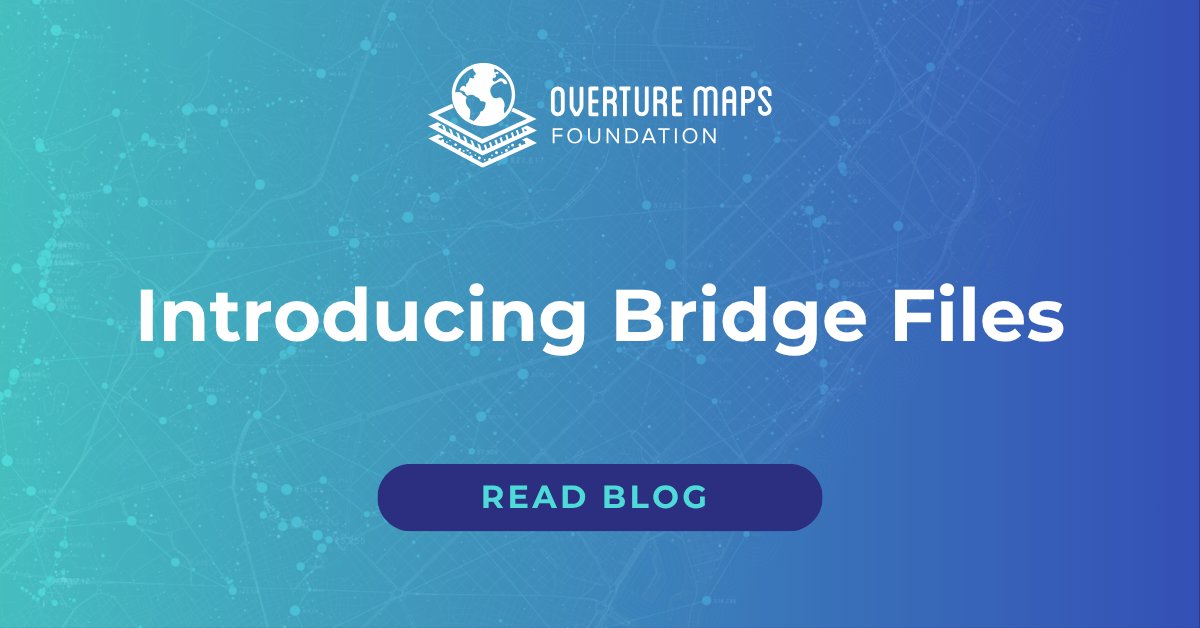
Connecting your data to GERS just got easier. Bridge files now link datasets like OSM, Esri & Meta to Overture. 🔗 Faster onboarding 📈 Easy enrichment 🔍 Clear data sources 📖 Learn more: hubs.la/Q03vhYxC0
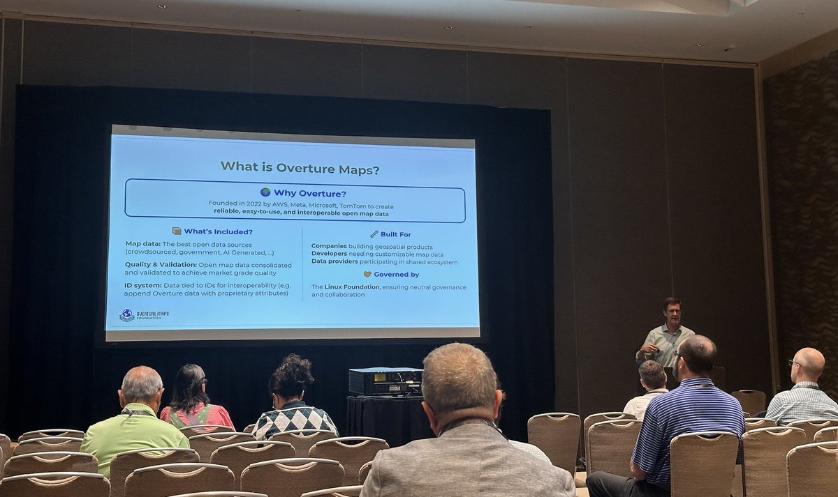
Global Entity Reference System (#GERS) explained 🗺️ 4 components working together: 🗺️ Reference Map (open & validated datasets) 📊 Changelogs (track updates) 🔍 Registry (ID lookup) 🌉 Bridge Files (instant connections) Check out the system overview: hubs.la/Q03v37cS0

"Data conflation is a hidden tax on the data ecosystem". @Microsoft VP Jeffrey Hightower nails the core problem. Every developer working with spatial data knows this pain, and #GERS helps. Learn more in the press release: hubs.la/Q03tY4j00
