
Thelonious Punk
@Crazyplan9
Weather and History | 24-25 Season Total 11.8”
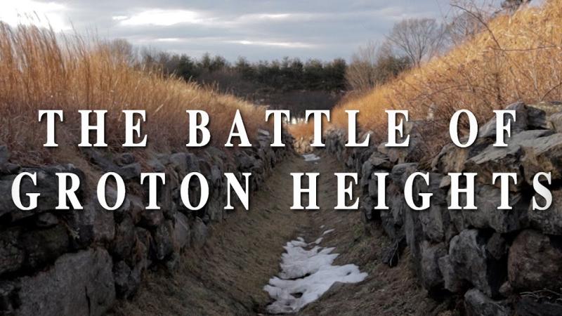
240+ years ago, one of the most brutal Revolutionary War battles happened in Groton, CT. Most people have never heard of it. I made a short doc to change that. tinyurl.com/3ssfsv2m #Revolution250 @KenBurns @nntaleb @BeschlossDC @DM_Rubenstein @IAmAmnaNawaz @PBS @HISTORY
It’s getting warmer… so why are U.S. winters still so brutally cold? ❄️ A new study by NSF-BSF grantees Prof. Chaim Garfinkel (@HebrewU) & Dr. Judah Cohen @judah47 (AER) finds the answer high above the Arctic - in the shifting polar vortex. 👉Study: science.org/doi/10.1126/sc…
They say timing is everything. Well the #PolarVortex disruption of March with its impacts reaching a crescendo in late May is timed to equally frustrate winter lovers and those eager for an early start to summer, bringing March in May. Blog is now public: published.aer.com/aoblog/aoblog.…
Would’ve loved to be on Nantucket for this one!
On This Day in Weather History: February 28, 1952. Cape Cod was hit with up to 20 inches of snow, wind gusts of 70-80 mph, and drifts as high as 12 feet!
That's a good question. Yes and no, I'd say. Yes: below normal snowfall was the most prominent outcome this winter (just over 65 percent coverage). No: the outlook missed a big lake effect season, a rare Gulf Coast storm, and several storms in the Mid-South.
2014 is calling & asking for its #polarvortex (PV) controversy back. As in 2014, the cold US this #winter is related to the stratospheric PV & the tropospheric & stratospheric PVs are coupled (I didn't use the word forced). Some highly recommended reading: agupubs.onlinelibrary.wiley.com/doi/full/10.10…
Check out our new Polar Vortex Blog! Though parts of the US have been very cold and snowy, experts do not think there's much evidence that the polar vortex is the main driver of our winter weather so far this year. climate.gov/news-features/…
Here s why I am not backing down. On Feb 11 I chose the analogs based on pattern recognition. The 3 storm blend was April 1982, Jan 1996, Jan 2016 . They yielded this anomaly Now look at the Euro forecast for Thur am. The model has come to be my idea. So why should I quit…
My latest thought on the upcoming potential... need to closely monitor models over the next couple days. The track & strength will make/break if the bigger storm potential comes to fruition. Still say both scenarios are 50/50. #MdWx
Vort doesn’t actually get sampled til Sunday night/Monday am so wait til Monday morning
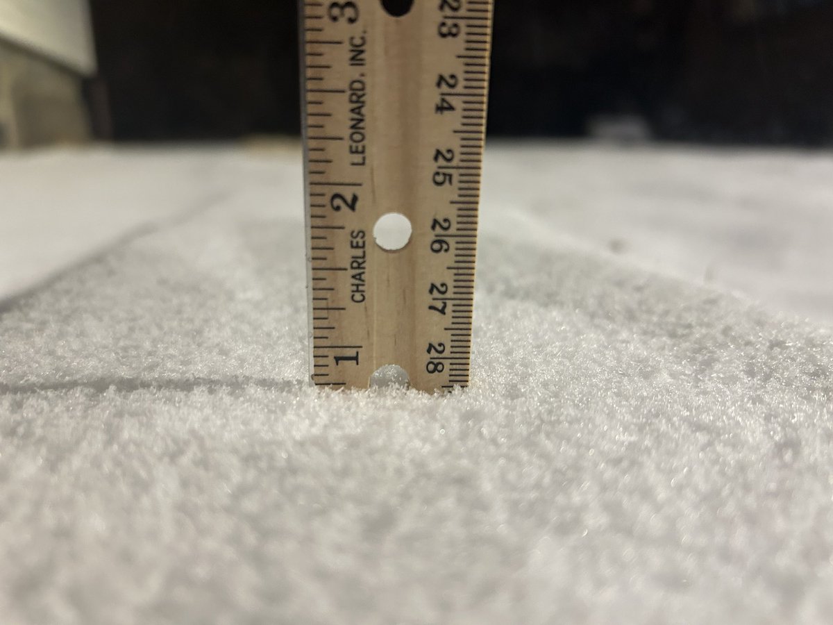
7:25 update Groton, CT….. 3/4 of an inch new snow @NWSNewYorkNY
Key points: - An East Coast storm is very likely on Feb 19-20 - Potential outcomes range from a weak southern Mid Atlantic snowstorm to a major region-wide snowstorm - Impossible to know specific details this far out - we'll know more in the coming days
Another round of wintry weather is likely Saturday. A few inches of snow is expected to fall, along with ice in some areas, before changing to rain overnight into Sunday AM. Forecast: weather.gov/nyc Briefing: weather.gov/media/okx/2025…