Jesse Anderson
@jessjaco
Geospatial Free Agent
We are excited to announce the launch of the Overture Maps Foundation, a new collaborative effort to develop interoperable open map data to power mapping and location services worldwide. Read the announcement: linuxfoundation.org/press/linux-fo… @OvertureMaps #Mapping #OpenSource
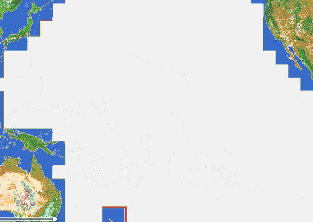
So many times I go to check out a "global" product and it looks like this
Heads up #EarthEngine developers, #Landsat Collection 1 will be removed from the catalog starting the second half of 2024. Get more information and a link to the migration guide if you still need to switch to Collection 2 👇medium.com/@googleearth/7…
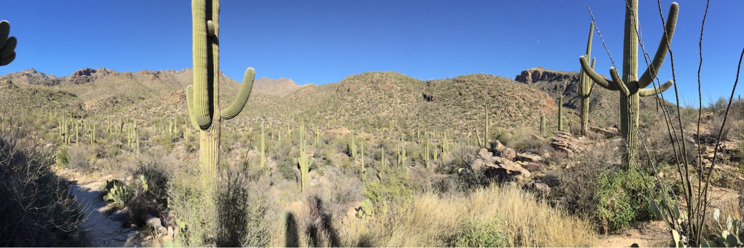
The eagle has landed! Looking forward to an intense but productive week with @jessjaco and @alexgleith on @DEarthPacific infrastructure, #PacificCoastlines and other regional products.
You shouldn’t have to write code to access geospatial data or use a GIS.
I'm excited that this important work on Mojave desert tortoise occupancy trends has finally been published. @AKissecol did a great job leading an amazing team. A special acknowledgement of the steadfast work and support of the late co-author Linda Allison. doi.org/10.1002/ecs2.4…
I just deployed a web app that is serving cloud-optimized GeoTiffs directly from S3...no tiles, no backend, nothing. The kicker is I used the Esri JS SDK. Would love if this was possible through leaflet or maplibre, etc! ?Or is it already??
The sunk-cost fallacy with respect to machine learning: "The model that takes the longest to fit is the best". Not so fast! Also see: "higher resolution satellite images are always better"
I woke up in the middle of the night last night with the thought "Why did everyone stop using Perl?"
🌳 Our new #ML challenge with @MathWorks to estimate above-ground biomass with #satellite imagery is live now! You can compete to win your share of $10k! buff.ly/3Dz2DBS
I know it's been around a while but flexbox solves so many layout problems.
Set up your editor to use a fixer - a program that reformats your code to fix indentation, long lines, and other issues when you save. I use black for python, styler for R, and prettier for javascript. They will make your life easier.
I'm not necessarily an early adopter, but am perhaps an early "attempter". I like to give new stuff a try. I always say if you're sharing a website you made with someone you've only got one shot, so it better be slick. The same with data. And the same with cloud platforms.
Are you a senior level software engineer? Come work at @microsoft and build the Planetary Computer with us! aka.ms/build-the-plan…
I thought I knew what I was doing, then I started working with data that crossed the 180th meridian