Geo_Spatialist
@geo_spatialist
IG/Twitter/Threads @geo_spatialist Bluesky @geospatialist.bsky.social
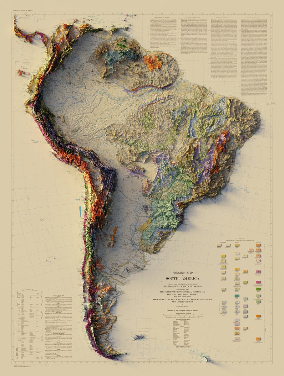
1/2 Geologic Map of South America - The Geological Society of America / The American Geographical Society / USGS - 1950 3D Render Close ups below #arcgispro #b3d #geology #geography #gis #cartography #SouthAmerica
And immediately gets bookmarked into my inspirations folder. esri.com/arcgis-blog/pr…
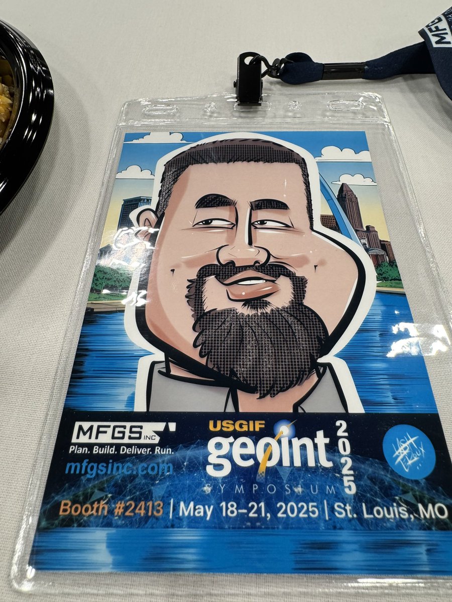
Snagged some coveted swag from the @USGIF booth at the GEOINT Symposium. Several people stopped me to ask where I got it. Then had my caricature done by @LashCanDraw (former WCW/WWE wrestler. Super nice guy who took time to chat with everyone he drew.

Father’s Day sale for the next 3 days only, buy any print and get the second for 50% off when you use code BOGO50. muir-way.com/collections/vi…

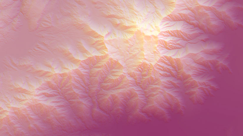
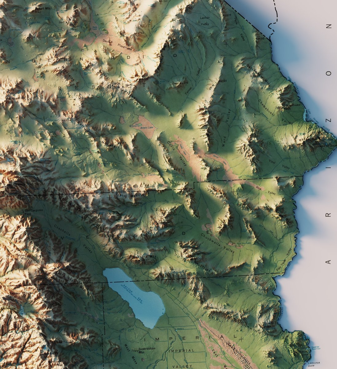
State of California - US Dept. of the Interior - Geological Survey - 1971 3D Render - with and without bathymetry. #California #arcgispro #geography #b3d


I honestly thought I had some weird tiling issue in the mosaic on this one before I realized it was roads.

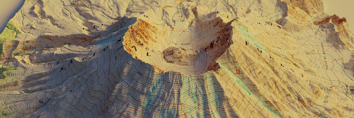
And here's a clay render of Ennis, MT. You can download the full res clay render here: drive.google.com/file/d/11XjPuG… #Montana #geomorphology #sedimentology #arcgispro #b3d


Ennis, MT - USGS - 1949 A literal textbook example of an alluvial fan. 3D render - 2 different maps of the same area. Both from 1949. #Montana #geomorphology #sedimentology #arcgispro #b3d


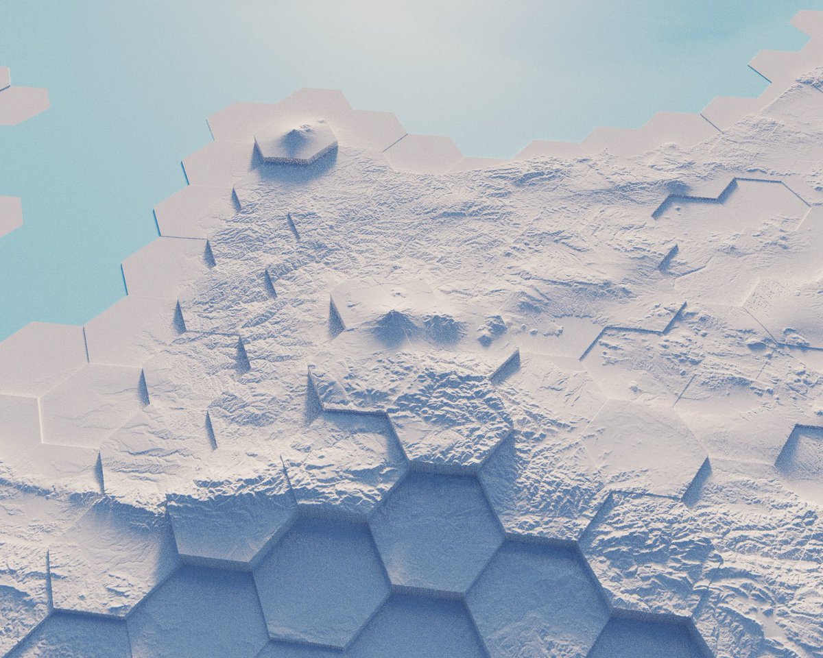
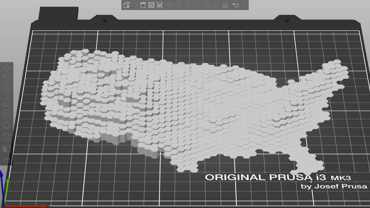
A follower on Instagram wanted to see what Canada would look like if I gave it same hex treatment as the US. Each hex is assigned the average elevation of the area it's over and then the real elevation is added back in. #canada #hexagon #arcgispro #b3d