FOX 12 KPTV Weather
@fox12weather
Watch Us On-Air All Day Long! | Download Our FREE FOX 12 Weather App!
Temperatures keep dropping over the next 3 days- looking very nice for the weekend. Highs in the upper 70s/low 80s Sat & Sun, with a.m. clouds giving way to p.m. sunshine. A low pressure system dropping in Mon could bring us some light rain chances. More:
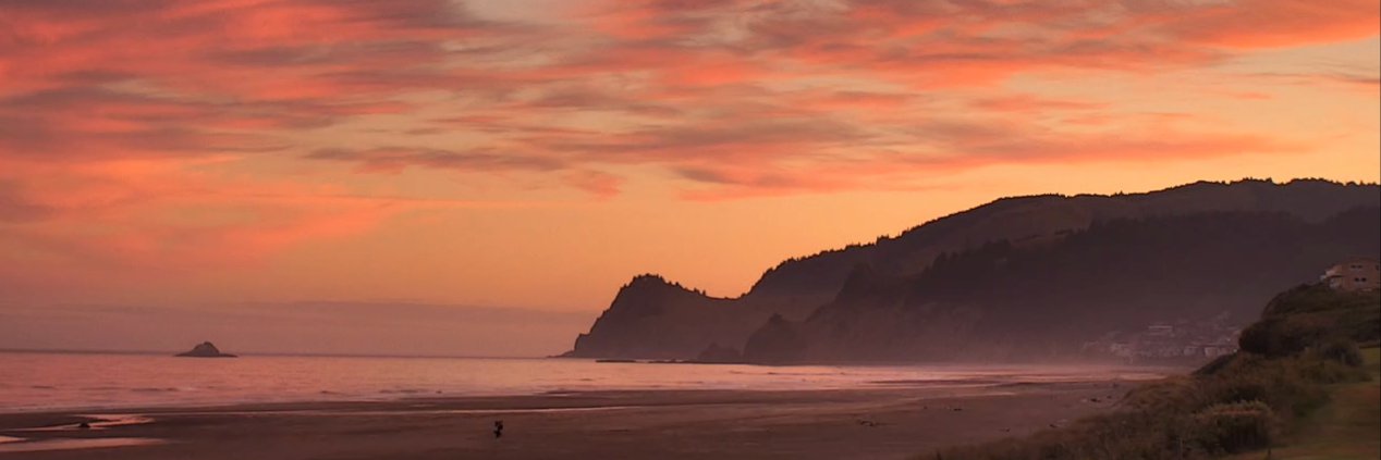
Expect a comfortable weekend with cloudy mornings and afternoon sunshine!
A dip in the jet stream will push more cool marine air into the region, cooling our high temps into the mid to upper 70s Sat & Sun. We'll see a.m. clouds and p.m. sunshine. High pressure takes over again next week, warming us back into the low 90s on Tues.
Still got this afternoon but not as hot as yesterday, and a cooling trend is on the way. How much will temps drop, and how long will it last? Watch the forecast video for the details. #ORwx #PNWweather #WeatherUpdate
Tracking slight chance for thunder west of Cascades next week
📉 A gradual cooling trend begins Thursday... But there is still plenty of sunshine in the forecast
We now have 12 large fires burning in the PNW, with 7 in OR. The Cram fire in central OR is now the largest in the nation, scorching more than 95k acres. Meanwhile on the WA side of the Gorge, the Burdoin fire has grown to more than 10k acres. More:
Hot Wednesday, But turning cooler heading toward the weekend 🙌
🌞 Mainly sunny and warm this week... Only one "hot" day in the forecast
Overnight showers brought some much-needed moisture to the metro, but sunshine and warmer temps return soon. We’re tracking a quick warm-up midweek—including a shot at 90s! How hot will it get—and how long will it last? Details in your forecast!
Updated model runs are indicating there is a chance (we're going 40%) that some of us see a light shower in the a.m. in the metro area, but those to the south in the I-5 corridor likely stay dry. Clouds will at least partially clear in the p.m. Details:
New This Morning: Expect a mostly "gray" day. We lowered rain chances Monday as an upper-level low shifts east. A brief sprinkle is possible in the morning, but clouds will dissipate throughout Monday afternoon. Full forecast in the video below!
It was a beautiful day across the region! PDX hit 80 degrees. Cooling trend continues thru Sun, w/mostly cloudy skies expected. Highs should stay in the 70s. A few models still showing slight sprinkle chance Mon, but looking less likely for the valleys.
Weekend Forecast: Warm and pleasant all weekend long, but new data shows increasing clouds on Sunday. ☁️
Much more comfortable temps are on the way this weekend as a low pressure system approaches. Plan on a.m. clouds and p.m. sunshine Sat, but it's possible we stay mostly cloudy Sun (and stay below 80). Some models are still giving us light rain chances Mon.
"Vegetation Fire" rapidly growing in Gorge east of Bingen; Hwy 14 closed WB Lyle to Bingen
A Red Flag Warning is in effect across portions of central/eastern OR, including the east end of the Gorge & Lower Columbia Basin. The elevated fire danger is due to gusty winds and low humidity, meaning fires can spread rapidly if they spark. Details:
Today is going to be another hot one, but not nearly as hot as yesterday. Highs in the upper 80s and low 90s and we'll continue cooling into the weekend.
Cooldown heading toward the weekend; some wake up to clouds Thursday too
Peaking just under 100° in the next hour; where temps are headed overnight