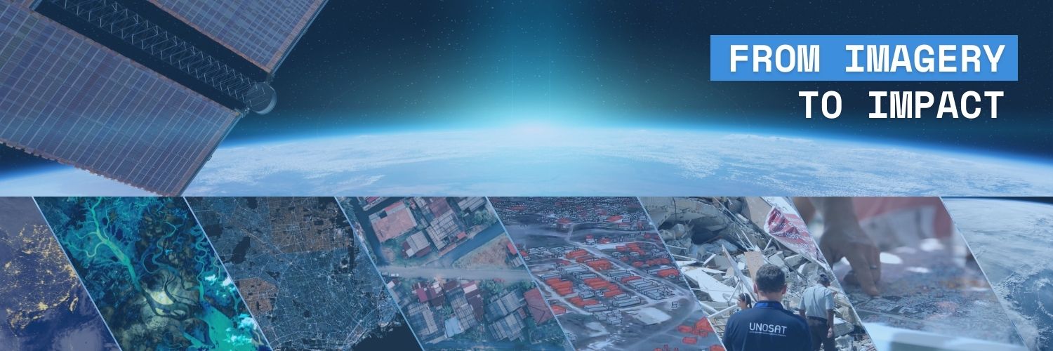
UNOSAT
@UNOSAT
Official account of the United Nations Satellite Centre - UNOSAT, UNITAR, imagery analysis, #satellite solutions, #GIS
“What used to take days, we can finish in just a few hours” – Bhutan official. Through UNOSAT-NORAD partnership, we enabled #Bhutan strengthen its geospatial expertise: -60+ trained in UAV, GIS & remote sensing -Evidence-based land management. Read here: bit.ly/45i1HAC

UNOSAT met with Professor Yutaka Matsuo from the Matsuo-Iwasawa Laboratory, University of Tokyo, to share our AI work on flood monitoring, damage assessment, and shelter mapping and explore synergies between our organizations. ➡️unosat.org/services #AI #SatelliteData


MULTIMEDIA: Photos and videos of the reading of the #ICJ Advisory Opinion on States Obligations in Respect of Climate Change are available here: go.icj-cij.org/3GZPqHK
Following a request from @UNOCHA, our Emergency Mapping Service has been activated in response to Tropical Cyclone #WIPHA25. The International Charter has also been activated. First map available: unosat.org/products/4150

UNOSAT was present to celebrate the 160th anniversary of @ITU this Thursday! The ITU plays a crucial role in managing global satellite and orbital spectrum. From AI to satellite mapping, we’re proud to support innovation for peace, development and resilience. #ITU160


🔥 #EMSR811 – Wildfire in Syria 🇸🇾 Satellite analysis shows that the fire in the Latakia region has burned 7,446 ha of land. The affected area includes: 🔸 206 ha of built-up 🔸148 km of roads 🔸 ~200 people potentially impacted More info: 🔗rapidmapping.emergency.copernicus.eu/EMSR811/report…
Earlier this July at #47WHC in Paris, we were honoured to co-host a session with HIST on how digital technologies & satellite data support the protection of World Heritage sites. Learn more: unitar.org/about/news-sto… #WorldHeritage


Update: Following Tropical Cyclone #WIPHA25, new satellite-based analyses on flood impacts in Viet Nam and Lao PDR are now available: ➡️ Lao PDR webmap: unosat.org/products/4156 ➡️ Viet Nam: unosat.org/products/4151


New report! Together with @FAO, we assessed vegetation loss in Lebanon due to conflict (Oct 2023–Oct 2024), revealing significant forest and cropland degradation using NDVI analysis based on Sentinel-2, Landsat and VHR data. Read more: bit.ly/3GXr15A

Our experts are monitoring the #flood in Punjab Province - #Pakistan. Satellite imagery (11 July 2025) shows ~4,900 km² flooded across Sindh, Balochistan & Punjab – an increase of 2,800 km² since 1 July. ➡️unosat.org/products/4148

#flood, Punjab Province - #Pakistan. Satellite imagery from Sentinel-1 (10 July 25) indicates that ≈4,200 km² of land is affected with flood waters, 3.3 million people potentially exposed to floods. ➡️unosat.org/products/4147 @OCHAPakistan

New ERC Grant: Monitoring War Destruction 🛰️ Andre Groeger has been awarded an @ERC_Research Proof of Concept Grant to develop a new method for satellite image analysis and deploy it with @UNOSAT. #BSEResearch #DataScience #ERCPoC ow.ly/nIru50Wp4TG
🌍 Calling youth-led organizations that promote peace, inclusion & dialogue: Apply for @UNAOC Youth Solidarity Fund to get ⬇️ 💵 Up to $25k in seed funding 🤝 Capacity-building & mentoring 🎉 Global platform to amplify your impact 🗓️ Deadline: 15 August 🔗 buff.ly/vPDv2Cn
We’re proud to co-host the side event “Digital Technologies for Sustainable Development of World Heritage Sites” with #HIST during the 47th @UNESCO World Heritage Committee session. Don't miss: 📍Room IX, UNESCO HQ, Paris 📅 12 July 2025, 13:00–15:00 (CEST) #WorldHeritage #47WHC

#Syria wildfires – While satellite data guides our work, field photos via UN-ASIGN offer useful on-the-ground perspectives. Feel free to contribute via UN-ASIGN app: ➡️unosat.org/products/4145

حرائق_الغابات # سوريا - تم إصدار خريطة تغطي نواحي #قسطل_معاف و #ربيعة و#كسب في محافظة اللاذقية. قمنا بتحديث التحليل بصورة فضائية Pleiadesمن 8 يوليو 2025. ~10,000 هكتار من الغطاء النباتي احترقت. يمكنكم الاطلاع على جميع نتائجنا عبر خريطتنا الإلكترونية: experience.arcgis.com/experience/d8b…

#Syria – Map covering Qastal Maaf, Rabee'a & Kasab Subdistricts, Latakia Governorate released. We've updated the analysis with an image from 08 July 25. 🔹~10,000 ha of vegetation burned 🔹~2,400 buildings & ~5,500 immediate vicinity to the fires zone ➡️unosat.org/products/4146

🇸🇾 #Wildfire Update, #Syria – Map covering Qastal Maaf Subdistrict, Latakia Governorate released. Initial assessment (04 July 25) reveals at least 400 ha of burned forests: 🔹~500 buildings may be exposed within 1 km of the affected area. ➡️unosat.org/products/4145

Hope finished her traineeship with our heritage team from #LPS25. While at #UNOSAT, she monitored biosphere reserves in #Ukraine, conducted damage assessments, and developed a change detection algorithm tool that has already been used in Yemen and Argentina.

UNOSAT is monitoring the #wildfire situation in latakia Governorate in NW #Syria. The @DisastersChart was triggered. Significant number of hotspots detected by SUOMI VIIRS. 🗺️Our live web map is available here: unosat.org/products/4144 Additional analysis will be available soon
