Tamil Nadu Geography
@TNGeography
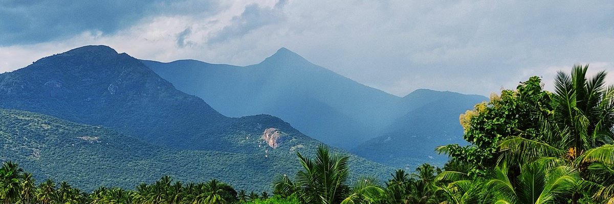
GeoBee, Talks about Geographical features of the state of Tamil Nadu & More Source-internet, copyright with respective owners, used only for awareness
Yesterday 4 people died due to Lightning in #Virudhunagar. Every year, >5000 die in India. This thread is about Lightning precaution & busting myth. Many think, people die due to direct lightning strike, but most of the death happens due to the concept called step potential 1/10

Mani Dam 🤩in between monsoon giants #Agumbe & HULIKAL Captured by me last weekend 🫶🏼 Mani Dam / Mani Reservoir Built across the Varahi River near Manibail village in Hosanagara taluk, Shivamogga district, part of the Varahi Hydroelectric Project. The full reservoir level is…
This year Adi 18m Perukku(ஆடிப்பெருக்கு) will be celebrated on Aug 3rd(Sunday). Cauvery & her distributaries are flowing full. This video background music is from Silapathikaram, it first coined the term, Nadanthai Vazhi Cauvery 📷Flowing Cauvery(July2025)
Thirukolakudi, a historical hillock in the Sivagangai dt, it is home to Thirukolanathar temple, a great Pandiyan edifice. Temples are built at four different levels. Naturally rich and architecturally beautiful temple, located 18km from Thirumayam fort
Thirunarungundram(Tirnagundar) Sri Appandainathar Digambar Jain Temple is one of the three important pilgrimage sites for Tamil Jains others being Karandai & Arpakkam. This 9th-century cave temple is called Jains Sabarimalai. TN has deep-rooted Jain tradition from Sangam era 1/3
This map gives you the altitude/elevation in Tamil Nadu landscape. Tamil Nadu has most number of people living above 2000m height in non-Himalayan India
#Srisailam dam Instant Inflow increased to 1,49,526 Cusecs this morning and continues to discharge the flood through 2 spillway gates(54,130 Cusecs). Apart from lift irrigation drawls around 1,20,000 Cusecs flowing towards Nagarajuna Sagar dam. Video - Gopi Krishna