Rhodes Cartography
@RhodesMaps
Maps, mapping, geoviz. No politics. Fellow @RGS_IBG. Board member @wmsmapsociety. Adjunct Professor @georgetownsfs. @thinkinginspace.bsky.social
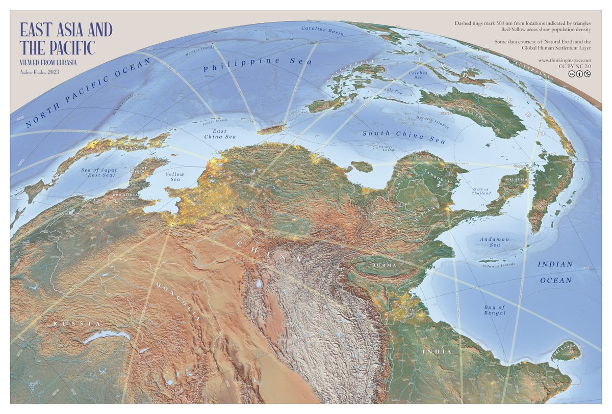
My new wall map "East Asia and the Pacific: Viewed from Eurasia" is now available for free (CC BY-NC 2.0) as a high-resolution download. Prints well at 20"x30" or larger. Thanks to everyone who provided helpful comments during many revisions. thinkinginspace.net/latest-maps/f/…
24 Hours Of Flights Between Europe and The US Credit: x_y_es (Youtube) How it was made: brilliantmaps.com/24h-flights/
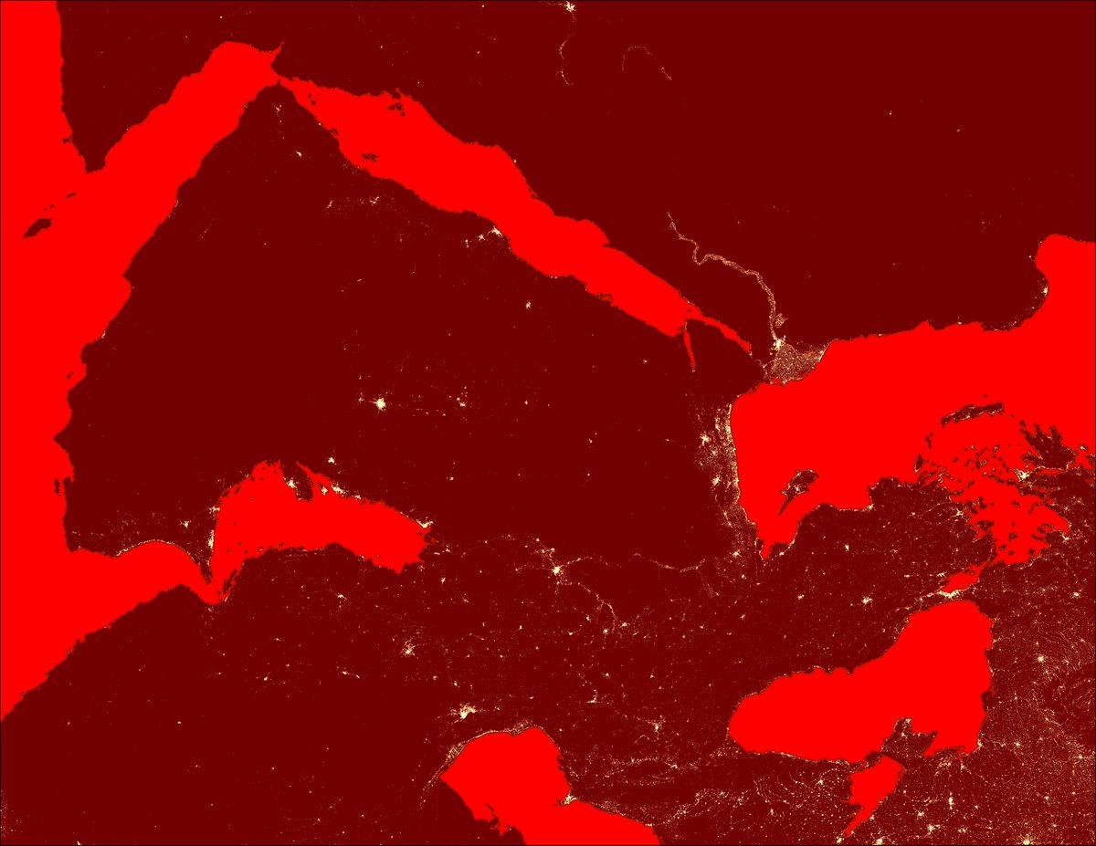
Maybe call this one "Chicago to California?" I don't know, maybe file under "unusual maps of North America that don't show the eastern seabord?" Again, data is GHSL from @CopernicusEU

Change colors and rotate frame to get a fresh perspective on a complex region. Human settlement data from @CopernicusEU GHSL.
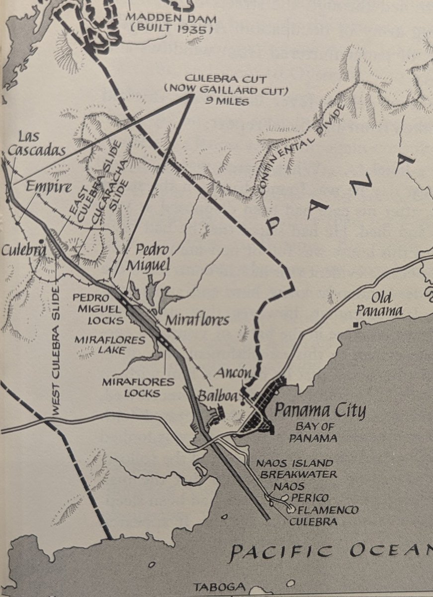
Look at how many different line weights there are in this corner of a Rafael Palacios map from David McCullough, The Path Between the Seas. All freehand.
McGiffin's story from 1894 is not only fascinating history but relevant to today... Same Water, Different Dreams: Salient Lessons of the Sino-Japanese War for Future Naval Warfare muse.jhu.edu/article/796352…
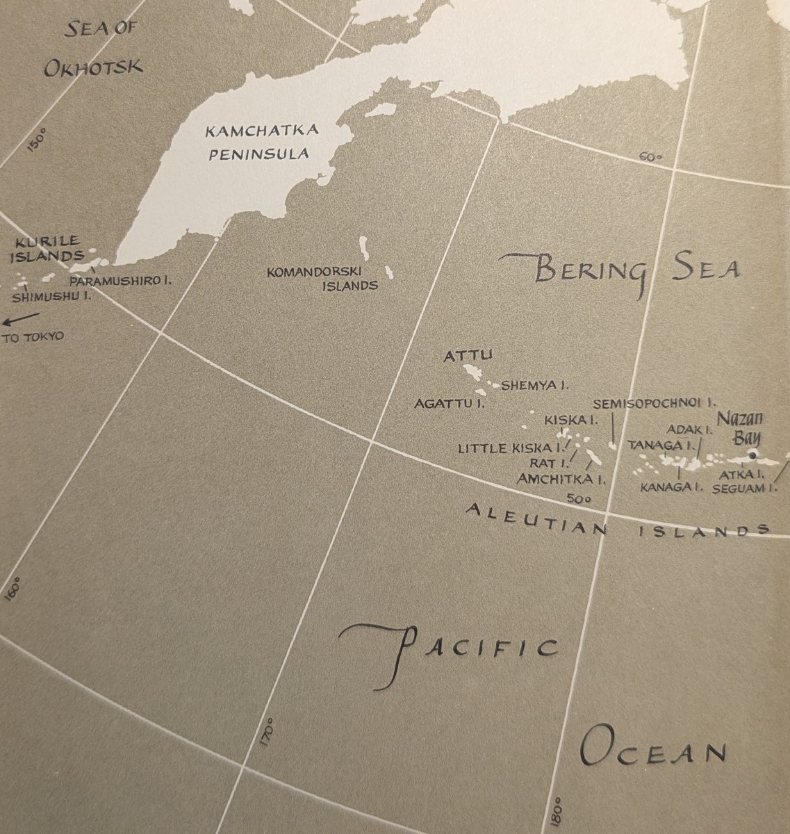
One of my top three favorite US-born and educated navy officers, Philo McGiffin: "Commander of the Chinese battleship Chen Yuen"
One of my top three favorite US-born and educated navy officers, Philo McGiffin: "Commander of the Chinese battleship Chen Yuen"
It’s nuts how thoroughly we’ve quashed infectious disease: 1890 U.S. Census maps show death rates for 12 diseases, of which only two are non-communicable (heart disease and cancer). The maps' scale maxima tell the story: Consumption - 135 deaths per 1,000 Pneumonia - 105…
Nobody asked, so I made this upside down South America thing. Just a small fun thing to do. #southamerica #brazil #argentina
He was obviously a fan of New Zealand 🇳🇿, putting them at the very top of the map, in the position of honour.
Palacios, as you probably know?, was a prolific illustrator of endpapers… (from memory he was credited by Cornelius Ryan), and I suspect it’s the lesser used Poeticus Licentious projection?
Know your state’s mountain ranges
Know your state’s mountain ranges.
🗺️ I've spent a lot of time the past week looking at data in the Strait of Hormuz so here is a quick animation showcasing the sheer volume of activity in the Persian Gulf last Friday. The data highlights "Tanker" only vessels (AIS code 80-89) #map #3d #dataviz