
NJOEM🇺🇸
@ReadyNJ
Official X account of the New Jersey Office of Emergency Management, NJ Task Force One (NJ-TF1), & NJ All-Hazards Incident Management Team #ReadyNJ
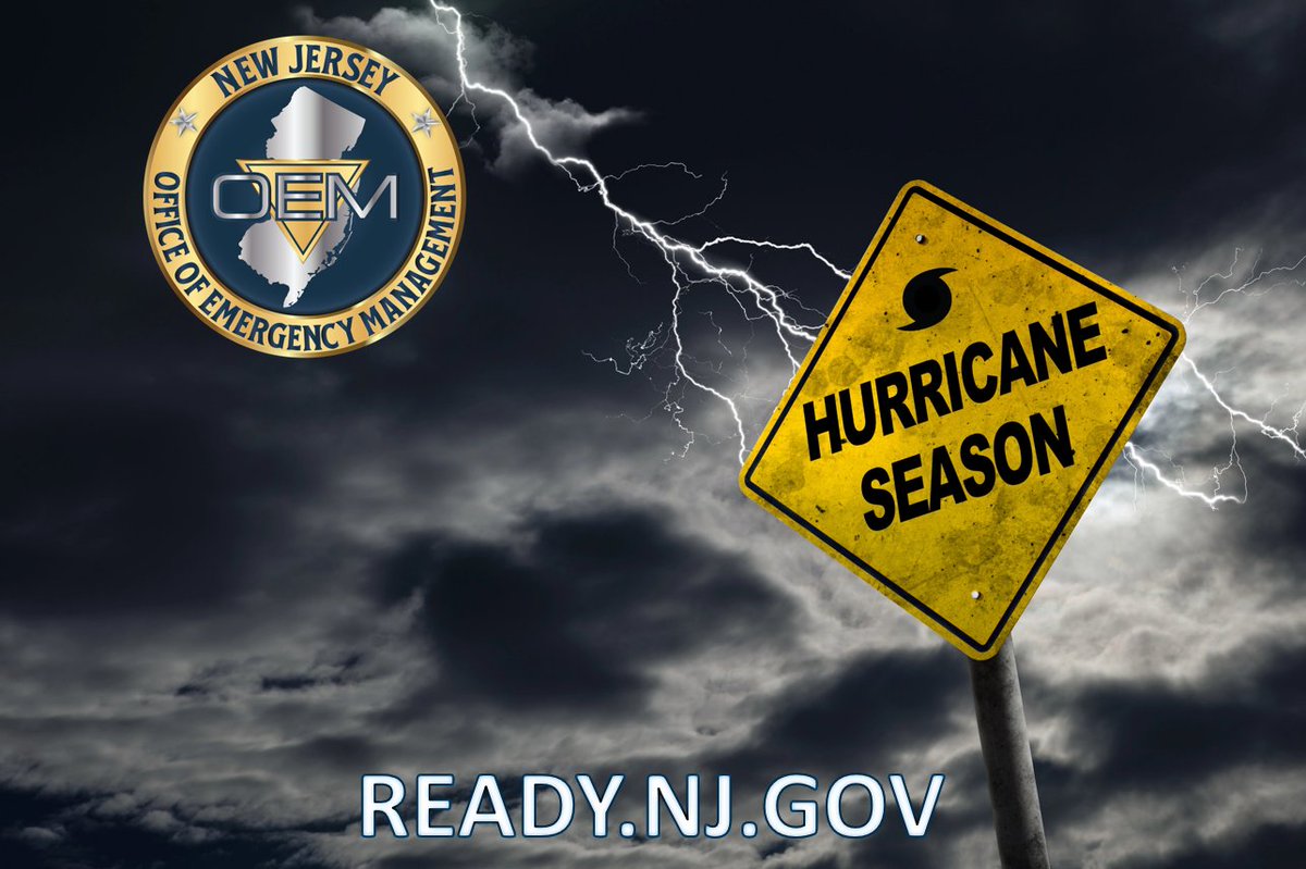
🌀 Don’t wait—get prepared now. ✅ Before: Make a kit, know your zone, stay informed ⚠️ During: Follow alerts, shelter in place, avoid floodwaters 🔁 After: Stay safe, report hazards, check on others 📘 NJ Hurricane Survival Guide: ready.nj.gov #ReadyNJ #HurricanePrep
(1/3) High pressure builds north of the area today. However, a mid-level disturbance will dive into the region. Combined with afternoon sea breezes, this may trigger widely scattered showers, mainly along the coast, but generally east of the I-95 corridor.
A cold front approaches the area this afternoon. The front will be a mechanism to develop showers and thunderstorms later this afternoon into the evening. Continue to monitor the latest weather conditions and be prepared for the potential of rapidly changing weather conditions.
There is a chance for off and on showers and thunderstorms throughout the day. Some of the storms, especially this afternoon into early evening, could be severe. The primary concern today is damaging winds, though hail and heavy rain are also possible. #PAWx #NJWx #DEWx #MDWx
(1/3) Unsettled weather on tap today as several waves of low pressure pass through the Mid-Atlantic & Delmarva. Showers will be focused mainly from Philly south, & will mostly be light until late afternoon/early evening. Thunderstorms will be possible then.
A child should not be left in a hot, unsupervised vehicle under ANY conditions. #HeatstrokePrevention #SafeDriving #SafeStreets #HotWeather
😎Happy Friday!! A much more seasonable summer day is expected to close the work week as humidity levels will return to comfortable levels. An isolated shower or thunderstorm remains possible over the Delmarva or southern New Jersey late in the day. #NJwx #PAwx #MDwx #DEwx
🌡️🥵 The main weather story today will be the oppressively hot and very humid conditions. Temperatures in the low to mid 90s with heat indices near 100-105°, even at the NJ shore and DE beaches. There is also a 20-40% chance of an isolated severe storm. #PAwx #NJwx #DEwx #MDwx
I have been briefed on a lightning strike tonight at an outdoor archery range in Jackson. At this time, we have at least one fatality and multiple injuries. All injured have been transported by first responders. Please pray for everyone involved in this tragic incident.
We are experiencing multiple thunderstorms tonight throughout North and Central Jersey along with a flood watch and isolated wind gusts. Please stay inside and exercise caution if you must travel.
The high heat and humidity will continue into Thursday with a Heat Advisory in effect across the entire area. Check out the full briefing here: weather.gov/media/okx/DSSB… #NYCwx #NYwx #CTwx #NJwx
⚠️ A flood watch is in effect through early Thursday morning for 11 counties, where heavy rainfall is expected. For updates, follow @NWS_MountHolly, @NWSNewYorkNY, and @ReadyNJ.
🚨 NJ-TF1 Members Deploy to Support Texas & New Mexico Flood Response At the request of the FEMA National US&R Response System, NJ-TF1 has deployed several team members to assist with flood response operations in Texas and New Mexico. Read more bit.ly/3GNeVMq #NJTF1


This summer’s turbulent weather pattern continues today. We are again experiencing extreme heat with a chance of thunderstorms and flash flooding this evening. Please check in on your friends and neighbors and limit outdoor activities if possible. 🧊 For cooling center info:…
The Flood Watch was expanded to include the I-95 Corridor, Lehigh Valley, and southern Poconos. #NJwx #PAwx #DEwx #MDwx
⚠️⛈️🥵 Scattered showers & storms are forecast to develop this evening into tonight, which will bring a threat of localized flash flooding & isolated damaging wind gusts. Hot & very humid conditions building through Thurs, with heat indices near 100-105°. #PAwx #NJwx #DEwx #MDwx
🔥 HEAT ADVISORY in NJ 🔥 Stay cool & stay safe: ✅ Stay hydrated ✅ Avoid outdoor activity 11AM–4PM ✅ Never leave kids/pets in cars ✅ Check on vulnerable neighbors 🌬️ Need a cooling center? Visit nj211.org or call 2-1-1 More tips: ready.nj.gov

Life is busy but safety takes priority. Many children suffer from vehicular heat stroke because they were forgotten. #HeatstrokePrevention #SafeDriving #SafeStreets #HotWeather
⚠️⛈️🥵 Scattered showers & storms are forecast to develop this evening into tonight, which will bring a threat of localized flash flooding & isolated damaging wind gusts. Hot & very humid conditions building through Thurs, with heat indices near 100-105°. #PAwx #NJwx #DEwx #MDwx
Hot and humid conditions are expected to begin tomorrow with Heat Advisories now in effect for much of the area. Heat index values will approach 100 degrees tomorrow and Thursday. PM showers and storms are also possible. #NYtwx #CTwx #NJwx
(1/2) A Flood Watch is now in effect for portions of northern NJ Wednesday afternoon and evening. Showers & t-storms will produce locally heavy rain. This area may be particularly vulnerable to new flooding due to the flash flooding that occurred on Monday.