
Peyton Simmers
@P_SimmsWX
MU Meteorology Alum 2025 | Meteorologist | @accuweather Meteorologist | Project TILTTING | 1🌪| 5 🌌| Packers Fan! | Opinions my own


Much like 93L this past week, there is another chance at tropical development in the Gulf next week as energy rotates back into the area. What makes this harder to develop is increased shear over the Gulf, but vorticity tries to spin up. This could also end up more west than 93L.


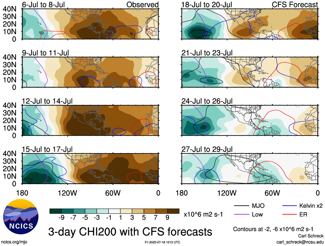
Perhaps the ATL MDR tries to spin up a storm towards the end of the month. I don't think much happens personally out here. However, there will be a CCKW followed by the MJO moving into the basin. There is still a lot of dry air, and a -AAO is unfavorable for ATL development.

It kind of looks like Hurricane Andrew's track. This will not happen, though.
First weenie/happy hour run of the season goes to the… Euro AI!!
A classic summer sky in Myrtle Beach this afternoon depending on which direction you're looking. Stormy or sunny! From Allie Marie #SCwx @wmbfnews
Beautiful day overlooking the ocean from Myrtle Beach! The longshore current is strong, and you can see distant anvils from storms way out at sea! #SCwx

Atlantic Niña is a big problem for hurricanes to develop in the MDR as it helps induce more sinking air and encourages more dry air into the basin. Right now, I don't expect much, but maybe something weak goes in the MDR with a CCKW passage this week, but it is still dry/stable.


Even years later, Hurricane Ian's damage is still evident in Huntington Beach State Park with this walking pier heavily damaged from storm surge.

The North Atlantic Oscillation (NAO) is set to head to a positive phase to end off July and start August. This, in combination with high MSLP anomalies across the deep tropics, will help to limit development across the MDR. The AAO is also expected to be weakly negative.


I saw this lowering, but it wasn't this well defined when it reached my location a bit more than a mile north of Springmaid Pier.
Interesting little feature over Myrtle Beach this afternoon. This was around 2:16 pm. There was a hint of broad rotation at the time, and this pattern of southward moving storms interacting with the sea breeze has been known to cause to some mischief. Anyone else seen…
Watching the landspout tagged storm from the 20th floor of my hotel! #SCwx

The sea breeze is already starting to form along the Grand Strand with increasing CAPE of over 3,000 J/Kg. There is also the presence of altocumulus clouds, which signal mid-level instability, a good sign for thunderstorms to form.

Another gorgeous sunrise from Myrtle Beach this morning! #SCwx @jamiearnoldWMBF @spann

A DOUBLE POST DAY WHAT DOES IT MEAN?! 🌈🌈 It means we got a lot of grads to celebrate! Today, we celebrate Peyton, who graduated from Millersville University and is now a meteorologist at AccuWeather! Congrats Peyton, we are proud of you.


Major flooding is ongoing on the north side of Washington DC, where a Flash Flood Emergency is in effect. DO NOT enter any floodwaters!

Flash Flood Emergency including Silver Spring MD, Bethesda MD and White Oak MD until 9:00 PM EDT
I'm still watching for a disturbance to break off the ITCZ across the MDR next week that could develop into a TC. A CCKW is going to pass over, but there will still be a lot of dust/SAL influence, and wind shear could be an issue if a TUTT is too close to the disturbance.


I never posted the bit of a shelf from last night's storm in Toftrees, PA.

PA will mostly be storm free this afternoon with the combination of poor Mid-level Lapse Rates (MLLRs) and being in the right exit region of the jet. The right exit region has ageostrophic wind convergence and favors sinking air.


