NWS Las Vegas
@NWSVegas
Official X account for the National Weather Service covering southern Nevada, northwestern Arizona, & southeastern California. Details: http://weather.gov/nws_x
A pleasant weekend is in store for outdoor recreation. Temperatures will remain a few degrees below normal and conditions will remain dry, although an isolated thunderstorm will be possible over the Sierra Crest each afternoon.

Temperatures will remain a few degrees below normal through the weekend along with dry conditions. There is some potential of monsoonal moisture returning by the middle of next week.

Today is considered the peak of the "dog days of summer." The dog days get their name based on astronomy. In ancient times, many cultures believed exceptionally hot weather was directly related to the appearance of Sirius - the "dog star." (1/2)
We will see another day of near to slightly below normal temperatures along with sunny skies. Other than a slight chance of thunderstorms over the Sierra Crest, conditions will remain dry.

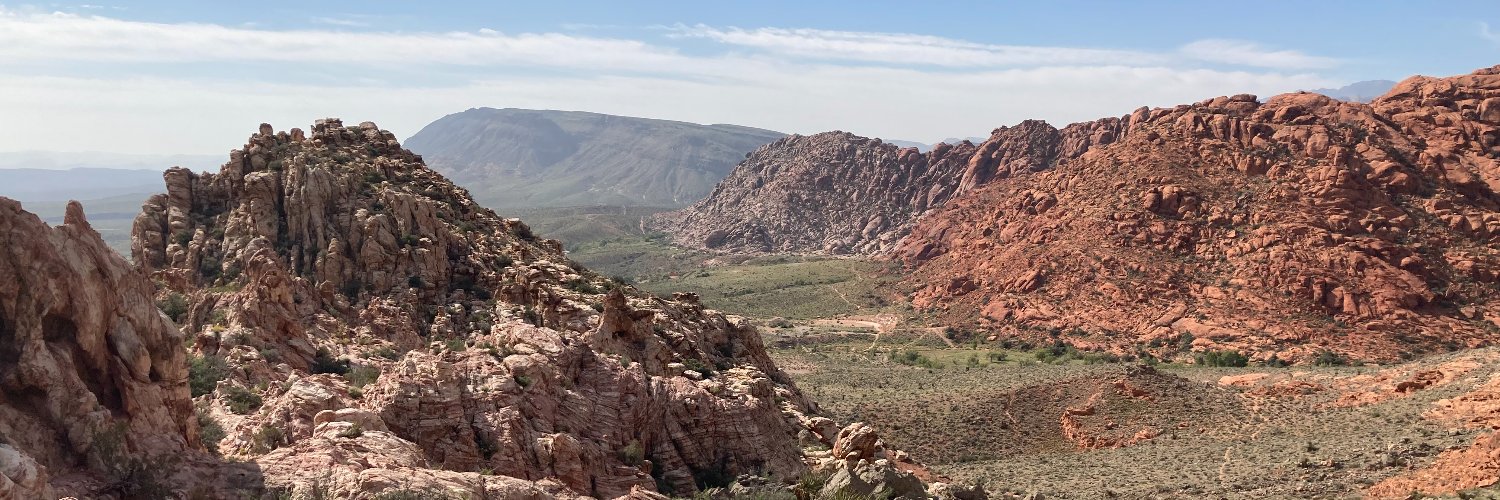
Today’s weather features below average temperatures, sunny skies, and breezy afternoon winds. Expect similar weather tomorrow. Enjoy! #NVwx #AZwx #CAwx

July 21st (today) has the hottest daily average high temperature for Las Vegas at 105 degrees. 🥵 The average daily high temperature will continue to decrease until December 21st. The end of the heat is near! #VegasWx

Today will be the warmest day of the week! 🥵 Through the work week, temps will remain 2 to 4 degrees below-normal. ⛈️ Expect isolated shower & thunderstorm activity in the higher terrain this afternoon, but otherwise, dry conditions & breezy winds expected. #VegasWx

Great shot of dissipating rain showers this evening! While a few sprinkles remain possible over the next hour or so, especially north, most of the rain will evaporate before reaching the ground (this is known as virga). Look for a quiet night ahead! #VegasWeather #nvwx
Wonderful #LasVegas #sunset with rain falling! @CityOfLasVegas @NWSVegas @MSGSphere @cityofhenderson @just1nbruce @KevinJanison @BillBellis @News3LV @LasVegasLocally #sunsetphotography #sunsets #Vegas #VegasBorn #vegasweather #VegasSunset
Isolated showers and thunderstorms are possible across the southern Great Basin, eastern Sierra, and northwestern Arizona this afternoon, some of which may produce gusty outflow winds and small hail. Storm activity tapers off after sunset. #NVwx #AZwx #CAwx

A Flash Flood Warning has been issued for northwest Las Vegas. Very heavy rain has fallen within the past hour with a few rain gauges receiving over an inch of rainfall. This warning will remain in effect through 445 PM. Significant ponding and flooded washes are expected.

Very heavy rain falling over northwest Las Vegas. This image from the Clark County Regional Flood Control gauges showing a few locations with nearly an inch of rain within the past hour including one gauge near I-11 and CC215 of 1.30". #lasvegasweather

Very heavy rain is currently falling over the northern and northwest parts of the Las Vegas Valley. A Flood Advisory will be in effect through 445 pm. Watch for significant ponding on area roads and washes will fill quickly. Turn Around Don't Drown and stay out of washes!

A Flash Flood Warning has been issued for portions of the northwest Las Vegas Valley including Highway 157. Very heavy rain and localized flash flooding is possible through 415 PM.

A Flood Advisory has been issued for portions of the Spring Mountains including Highway's 156, 157, and 158. Heavy rain with flooding possible. #nvwx

A Flash Flood Warning has been issued for portions of the Mojave Preserve until 3PM. This includes Nipton, Nipton Rd, Morning Star Mine Rd, and Ivanpah.

Heavy rain falling along and just south of lower Lee Canyon Road. ⛈️ Check out this timelapse from the @ALERTWestCams camera on Angel Peak! #nvwx
Thunderstorms are producing heavy rain over portions of the Mojave Preserve and southeast Clark County. A Flood Advisory has been issued until 215 PM. Turn Around Don't Drown!

Slow moving thunderstorms have prompted a Flood Advisory for central San Bernardino County. Minor flooding is possible, especially along Highway 127 between Dumont Dunes and Baker. Never try to cross a flooded roadway. Turn around, don't drown! #CAwx
VEF issues Flood Advisory for San Bernardino [CA] till Jul 18, 12:30 PM PDT mesonet.agron.iastate.edu/vtec/f/2025-O-…
⚠️Flood Advisory issued along CA-127 near Shoshone, Tecopa, and Dumont Dunes. ⏰Until 8:45 AM PDT this morning. 🚗Turn around, don't drown when encountering flooded roads. #CAwx

Showers and thunderstorms are possible across much of the forecast area today and tomorrow. Flash flooding and gusty winds are the main hazards. Always have a way to receive warnings and be weather aware! #NVwx #AZwx #CAwx
