NWS Salt Lake City
@NWSSaltLakeCity
Official Twitter account for the National Weather Service Salt Lake City Utah. Details: http://weather.gov/twitter
Gusty winds and low relative humidity will create a period of critical fire weather conditions Saturday afternoon and evening, mainly across southern, central, and eastern portions of the Beehive State. Remain fire aware and avoid activities that could cause a spark! #utwx

25 July: We are monitoring 2 areas for development in the Pacific. The disturbance well SE of Hawaii has a 50% chance of formation over the next 7 days as it moves westward around 10 to 15 mph. South of Mexico there is a low chance. Stay up to date at hurricanes.gov
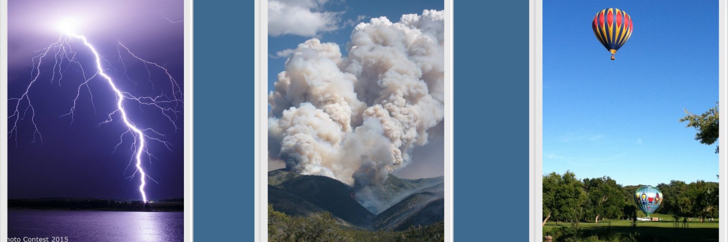
🔥 Smoke may also impact towns near the Monroe Canyon fire including Monroe and Richfield. Smoke may cause reduced visibility on US-89 near Richfield as well as I-70, especially at night over the next few days. Be careful out there! #utwx
🔥Heavy wildfire smoke will impact southeastern Utah through at least Saturday night. When heavy smoke impacts your area, consider avoiding outdoor activities. Visibility will again be reduced on area roads and on Lake Powell. #utwx
Heavy wildfire smoke will impact southeastern Utah through at least Saturday night for Capitol Reef National Park and Vicinity, Glen Canyon Recreation Area/Lake Powell, San Rafael Swell, South Central Utah, Western Canyonlands [UT] till 12:00 AM MDT mesonet.agron.iastate.edu/p.php?pid=2025…
Heavy smoke from northern Arizona wildfires will lead to a continuation of heavy smoke concentrations across southeast Utah through at least Saturday. The smoke will lead to degraded air quality and visibility, especially in the Lake Powell area. Limit or avoid time outdoors.

Gusty southwesterly winds to 30 mph in addition to very dry conditions may create critical fire weather conditions on Saturday across portions of central and southern Utah. Avoid any activities that can create a spark and follow local fire restrictions! #utwx

Smoke from the Dragon Bravo fire burning in northern Arizona will continue to impact portions of southern & eastern Utah through tomorrow, especially across Lake Powell. Expect periods of low visibility & reductions in air quality, especially in the afternoon/evening hours. #utwx
Do your Pioneer Day plans take you to Glen Canyon/Lake Powell or eastern Kane County? Expect heavy wildfire smoke to impact portions of the area, reducing visibilities on both land and water and causing potential air quality impacts. #utwx
A special weather statement has been issued for Garden City UT, Randolph UT and Laketown UT until 11:00 PM MDT

Wind and tree damage from tonight’s severe thunderstorms in Brigham City. #utwx
This thunderstorm quickly moving towards Bear Lake and the Bear River Valley has had a history of wind gusts over 50 mph. Anyone still on the lake should take shelter. #UTwx
A special weather statement has been issued for Garden City UT, Randolph UT and Laketown UT until 10:30 PM MDT
A special weather statement has been issued for Garden City UT, Randolph UT and Laketown UT until 10:30 PM MDT

A special weather statement has been issued for Logan UT, Brigham City UT and North Logan UT until 9:15 PM MDT

Aviso de Tormenta Severa incluye Ogden UT, Brigham City UT, North Ogden UT hasta las 8:45 PM MDT

Severe Thunderstorm Warning including Ogden UT, Brigham City UT and North Ogden UT until 8:45 PM MDT

A special weather statement has been issued for Syracuse UT, Clinton UT and West Point UT until 8:15 PM MDT

A special weather statement has been issued for Brigham City UT, North Ogden UT and Pleasant View UT until 7:45 PM MDT
