NWS Pendleton
@NWSPendleton
Official Twitter account for the National Weather Service Pendleton. Details: http://weather.gov/twitter
A special weather statement has been issued for La Pine OR until 5:45 PM PDT

A special weather statement has been issued for La Pine OR until 5:30 PM PDT

A special weather statement has been issued for Glenwood WA until 4:30 PM PDT

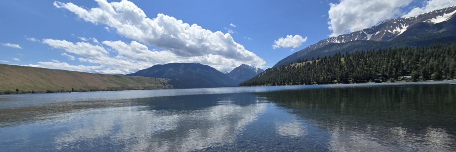
There is a slight chance (15-25%) for mountain showers and thunderstorms today and Thursday between afternoon and evening hours for both days. #orwx #wawx

Wet, isolated Thunderstorms will develop Monday and Tuesday between morning and evening hours for both days with a 15-40% chance. #orwx #wawx

Red Flag Warnings issued for many parts of our region now through Friday Evening. Gusty winds and low RH values will promote rapid fire growth in many areas of our region. #ORwx #WAwx

Red Flag Warnings for wind and low relative humidity are in effect through Monday evening for the lower Columbia Basin of Oregon and Washington including Kittitas Valley. #orwx #wawx

Heat Advisories are in effect for the Lower Columbia Basin/Gorge and adjacent foothills and valleys from Saturday through Monday. Sunday will be the hottest day, with temps between 100 to 105 in those areas, with mid to upper 90s elsewhere in the lower elevations. #orwx #wawx

A special weather statement has been issued for La Grande OR until 6:15 PM PDT

A special weather statement has been issued for La Grande OR, Elgin OR and Island City OR until 5:45 PM PDT

Fire Weather Watch for wind and low relative humidity have been upgraded to Red Flag Warnings for the Basins of OR and WA. These warnings are in effect Wednesday morning through Wednesday evening. #orwx #wawx

A Fire Weather Watch for wind and low relative humidity is in effect Wednesday morning through Wednesday evening for the lower Columbia Basin of Oregon and Washington. #orwx #wawx

A Red Flag Warning for abundant lightning is in effect 2 PM to 11 PM Tuesday for portions of central and eastern Oregon. #orwx

A heat advisory will be in effect for much of the Lower Columbia Basin of WA/OR into the Yakima Valley. Temperatures will rise into the triple digits with many areas reaching close to/at 105 degrees. #orwx #wawx

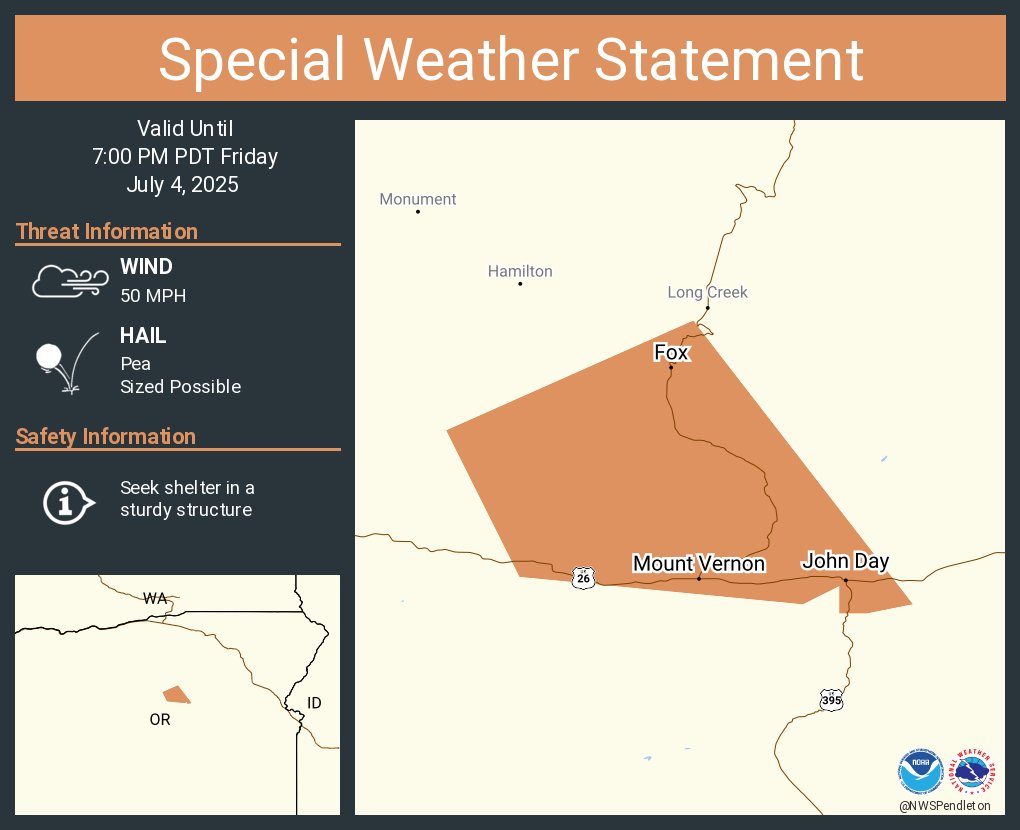
A special weather statement has been issued for John Day OR, Canyon City OR and Mount Vernon OR until 7:00 PM PDT
A special weather statement has been issued for Seneca OR and Silvies OR until 3:15 PM PDT

A special weather statement has been issued for Hampton OR and Brothers OR until 3:00 PM PDT

A special weather statement has been issued for Canyon City OR, Mount Vernon OR and Seneca OR until 2:45 PM PDT

A special weather statement has been issued for Seneca OR and Silvies OR until 10:45 PM PDT

There is a potential for overnight and early morning isolated thunderstorms across Central and Eastern Oregon. As the majority of thunderstorm cells are expected to be wet, there could be a couple cells with minimal precipitation. #orwx #wawx
