NWS Buffalo
@NWSBUFFALO
Official Twitter Account for National Weather Service Buffalo New York. Details: http://weather.gov/twitter
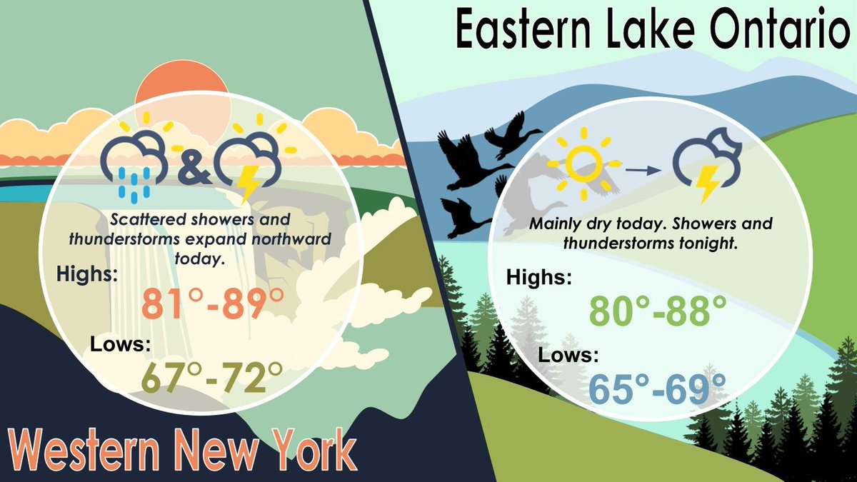
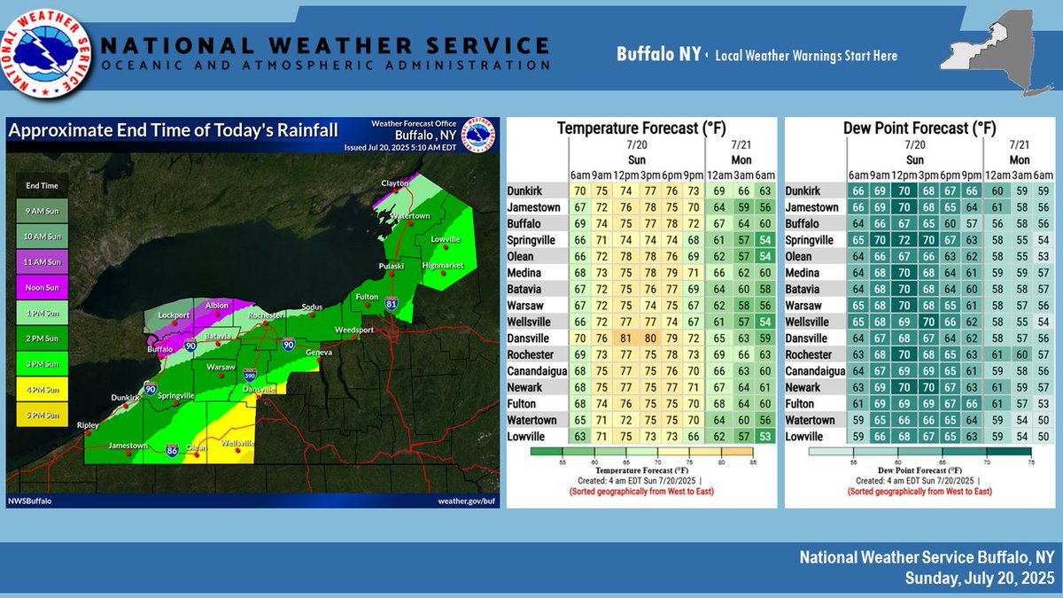
Scattered showers and thunderstorms will expand northward across WNY throughout the day today. Meanwhile, it will be mainly dry today across the eastern Lake Ontario region, with showers and thunderstorms crossing east across the area overnight.
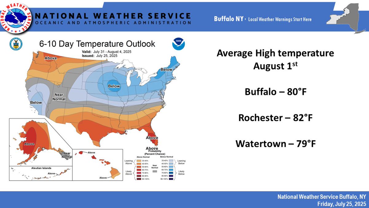
After a recent stretch of very warm temperatures, a cooler and drier airmass will settle upon the eastern Great Lakes region to start the beginning of August. Enjoy! #nywx
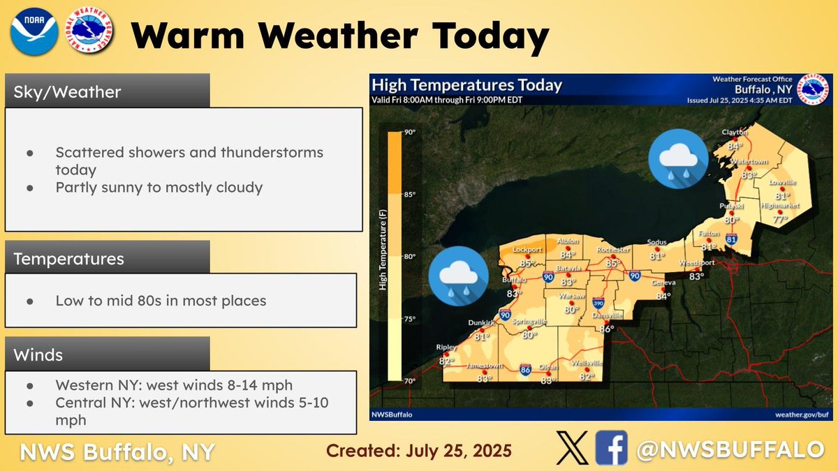
A cold front will move across the forecast area today, supporting scattered showers and thunderstorms with uneven coverage of rainfall. Dry weather expected tonight.
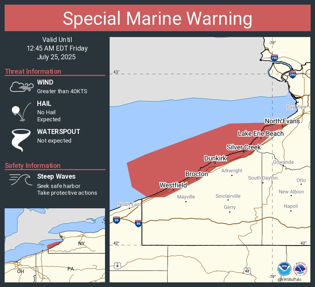
Special Marine Warning continues for the Ripley to Buffalo NY extending from 5NM off shoreline to US-Canadian border, Dunkirk to Buffalo NY and Ripley to Dunkirk NY until 12:45 AM EDT

Special Marine Warning including the Ripley to Buffalo NY extending from 5NM off shoreline to US-Canadian border, Dunkirk to Buffalo NY and Ripley to Dunkirk NY until 12:45 AM EDT
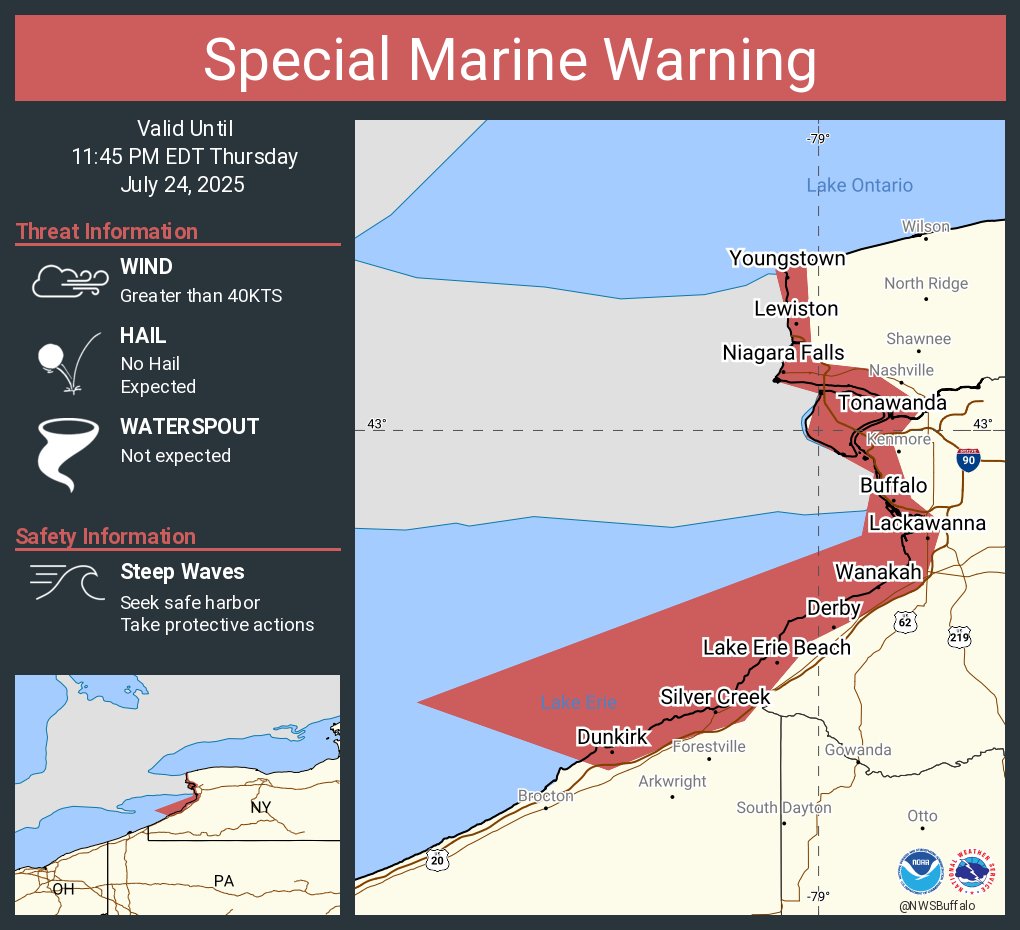
Special Marine Warning continues for the Ripley to Buffalo NY extending from 5NM off shoreline to US-Canadian border, Dunkirk to Buffalo NY, Ripley to Dunkirk NY, Upper Niagara River and Buffalo Harbor and Lower Niagara River until 11:45 PM EDT
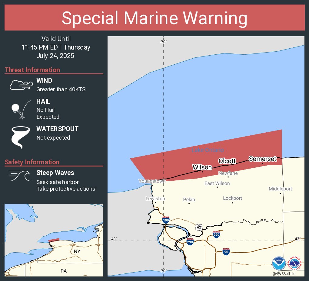
Special Marine Warning including the Niagara River to Hamlin Beach NY beyond 5NM off shoreline to US-Canadian border and Niagara River to Hamlin Beach NY until 11:45 PM EDT
Special Marine Warning including the Ripley to Buffalo NY extending from 5NM off shoreline to US-Canadian border, Dunkirk to Buffalo NY, Ripley to Dunkirk NY, Upper Niagara River and Buffalo Harbor and Lower Niagara River until 11:45 PM EDT

[7:45pm] A line of severe thunderstorms over southern Ontario will move towards western and northern NY tonight, but is expected to weaken as it moves into more stable air over our region. Even with the weakening trend, a few storms may contain gusty winds and brief downpours.
![NWSBUFFALO's tweet image. [7:45pm] A line of severe thunderstorms over southern Ontario will move towards western and northern NY tonight, but is expected to weaken as it moves into more stable air over our region. Even with the weakening trend, a few storms may contain gusty winds and brief downpours.](https://pbs.twimg.com/media/GwqSypnWIAA7uLn.jpg)
A Heat Advisory is in effect for heat indices in the mid to upper 90s for areas south of Lake Ontario, Lower Genesee Valley, and Finger Lakes region. A few strong thunderstorms may enter far western NY tonight, mainly after midnight.
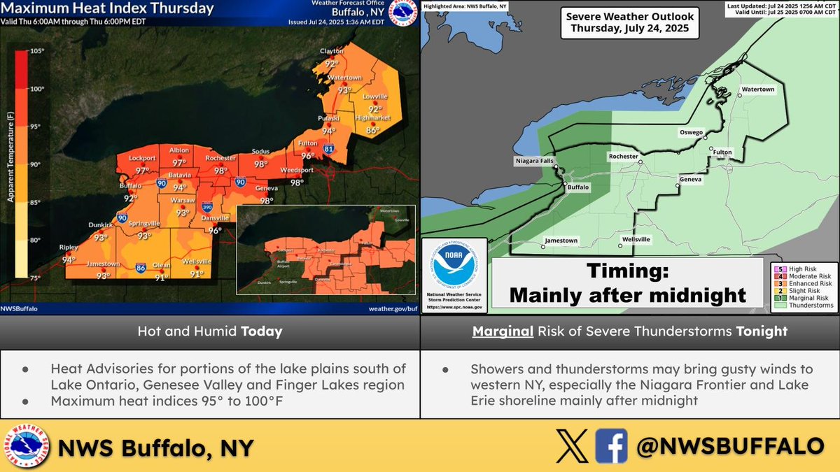
Heat and humidity return on Thursday, with heat index values climbing well into the 90s in many areas. A Heat Advisory is in effect for a portion of the area. You know the drill, take plenty of breaks in the shade/AC, stay hydrated, and never leave children or pets in the car.
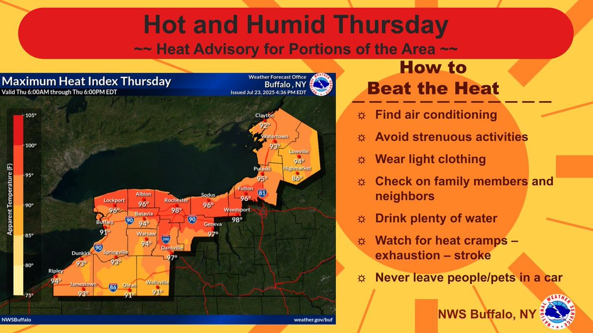
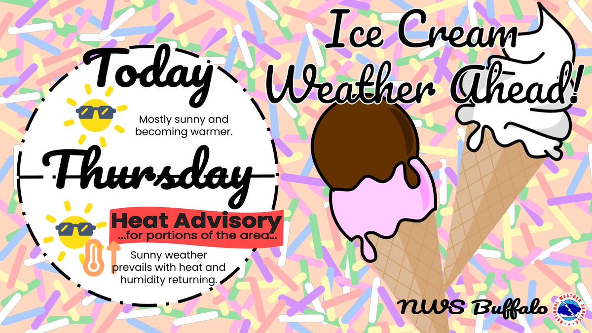
Definitely some ice cream weather today and Thursday with mostly sunny skies and increasing warmth. A Heat Advisory is in effect from 11AM to 8PM Thursday for the Niagara Frontier, Genesee Valley and northern Finger Lakes.
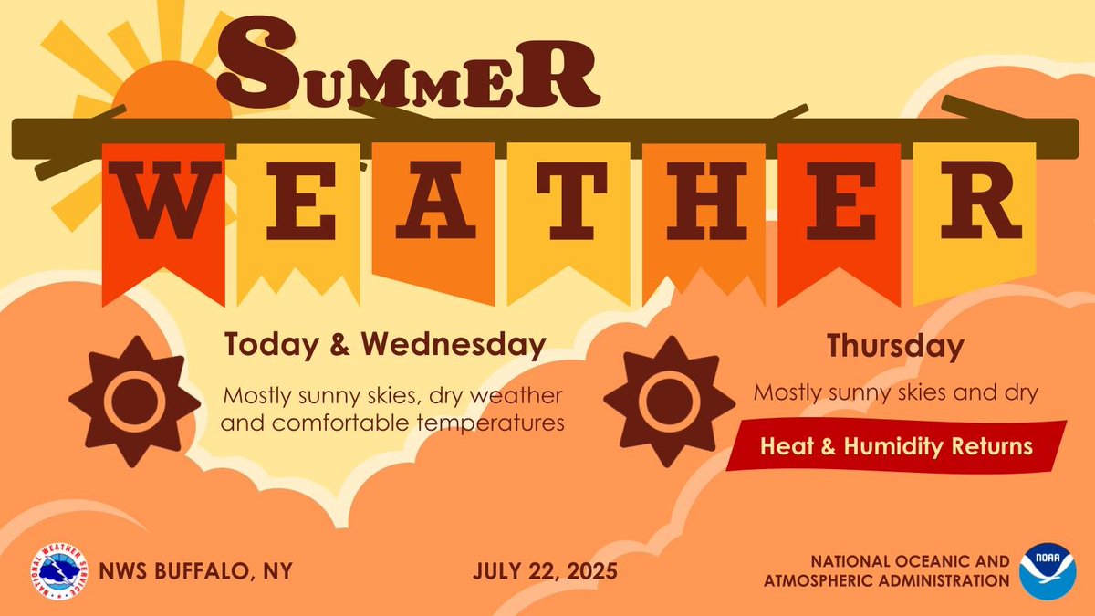
Mainly sunny skies and dry weather will continue today and Wednesday. Heat and humidity will then return Thursday with heat index values climbing back up into the mid 90s to low 100s across the lake plains, Genesee Valley and northern Finger Lakes.
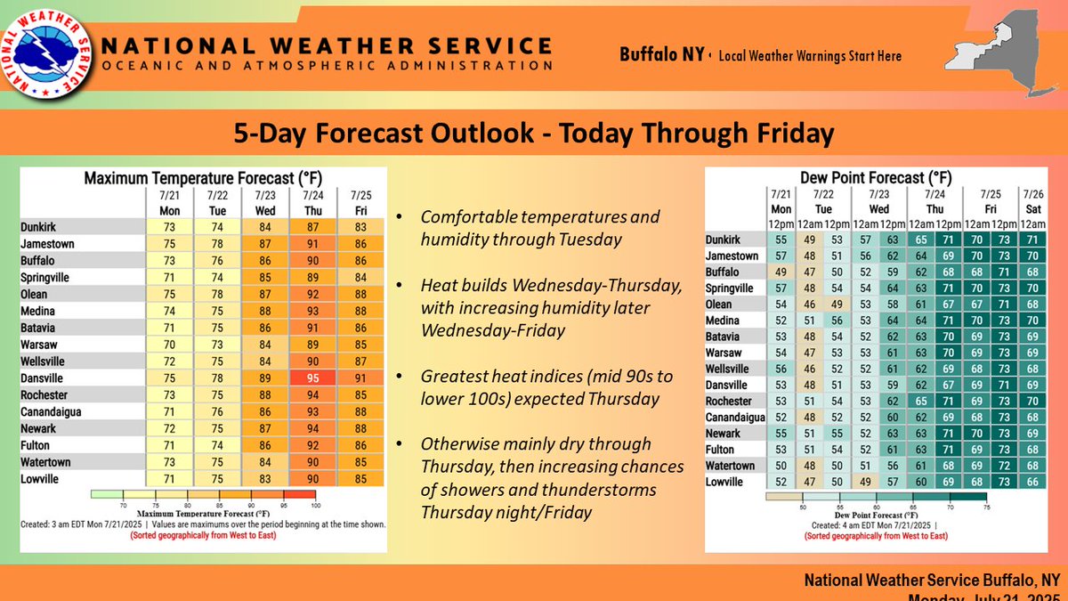
5-Day Forecast Outlook: Comfortable today and Tuesday, then heat and humidity build Wed/Thu, with the greatest heat indices (mid 90s-lower 100s) expected Thursday. Otherwise it'll be mainly dry through Thursday, followed by increasing chances of showers/storms Thu night/Friday.
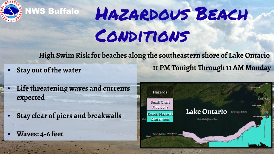
There is a Beach Hazards Statement in effect from 11PM Tonight to 11AM Monday for the beaches of Wayne, northern Cayuga, and Oswego counites. Stay out of the water to avoid dangerous swimming conditions.
A cold front will slowly cross the area today while generating some showers and a few thunderstorms. Following its passage, cooler and much less humid conditions will follow tonight.
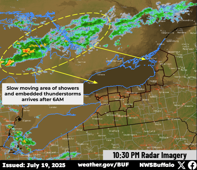
Latest trends continue to indicate that overnight shower and thunderstorm activity should diminish before reaching our area, with minimal threat of severe weather. Another batch of showers/storms will arrive early tomorrow morning and slowly move southeast through the area.
Quiet weather today with high temperatures ranging in the 80s and a touch more humidity. An area of low pressure will then bring us showers and scattered thunderstorms late tonight, with a Marginal Risk of severe storms across WNY.

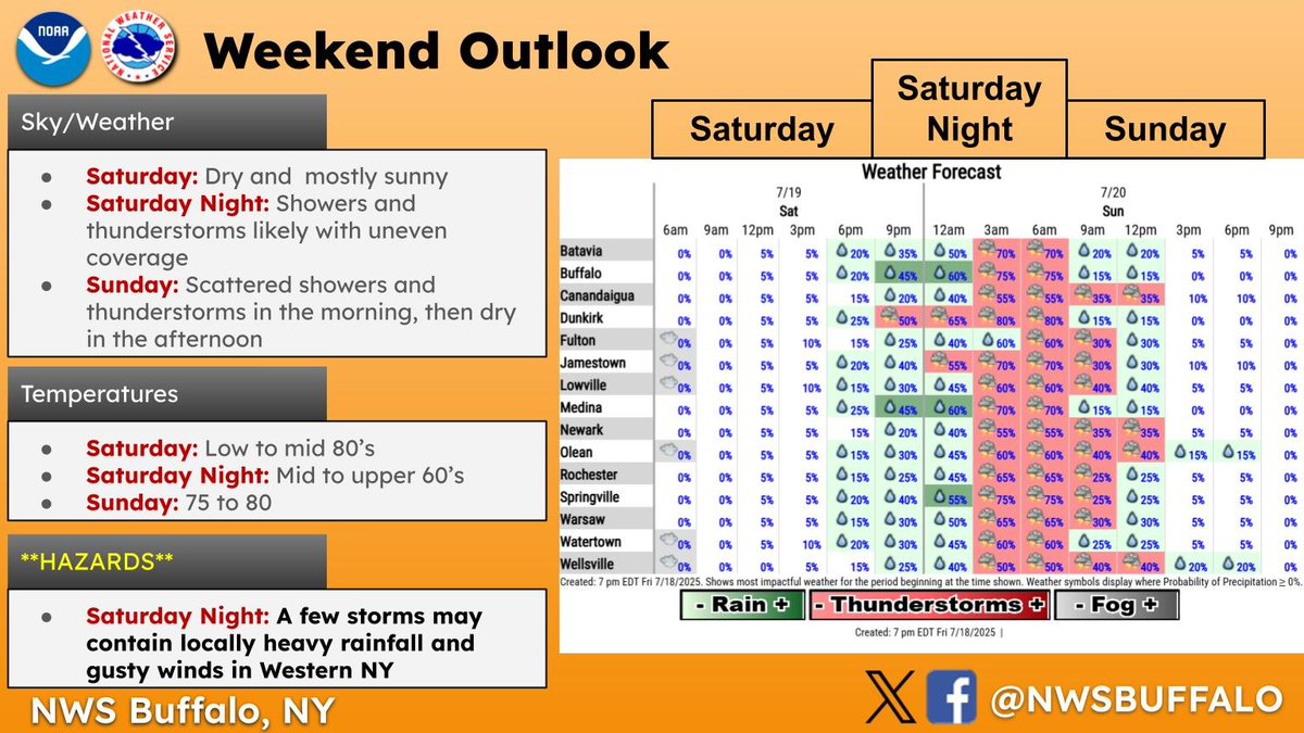
Overall, a nice weekend is ahead, with most of the rain chances confined to Saturday night and Sunday morning. If you have outdoor plans, dry weather will prevail through the daylight hours Saturday, and again Sunday afternoon.
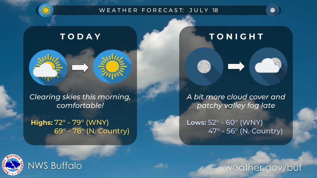
Some low cloud cover in place across the region early this morning with even a few sprinkles east of Lake Ontario. These will clear out as high pressure moves directly overhead today with comfortable temperatures and low humidity. Quiet weather lasts through tonight.