Esri Indoor GIS
@IndoorGIS
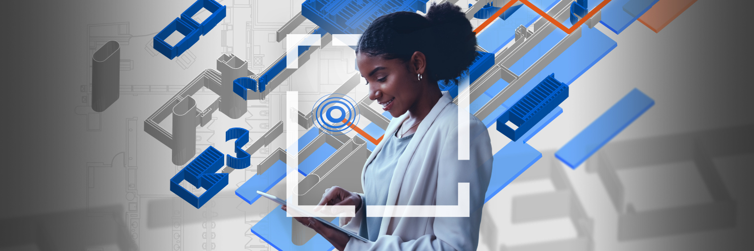
Redefine your indoor spaces with location information
Today is the last day to visit the #IndoorGIS showcase area. Be sure to stop by with your questions, learn about the latest capabilities for indoor mapping and indoor positioning, and get started with bringing your #GIS indoors. Learn more: ow.ly/J7JU50Wrmkw


For those interested in #IndoorGIS, it's going to be another busy day at #EsriUC2025. There are loads of sessions for you to attend! Don't forget to come to our showcase to learn about indoor reality mapping, indoor positioning, space planning, and more: ow.ly/Z1Ze50WqKcU


Last chance at #EsriUC2025 to get demos of #IndoorGIS use cases such as asset mapping, wayfinding, space planning, and incident response coordination. Come by the Hilton (ow.ly/h8uI50Wq5TL) or Marriott Marquis (ow.ly/6NyV50Wq5TK) to see #ArcGISIPS and #ArcGISIndoors.

Interested in #IndoorGIS live demos at #EsriUC2025? - indoor asset mapping - incident planning - Wayfinding - space management Come by: - Hilton: ow.ly/RhL450WoSRK - Marriott: ow.ly/KLBJ50WoSRO - Or sign up here: ow.ly/Wcbi50WoSRP

Get ready to bring your #GIS #indoors! Join us at #EsriUC2025 for a transformative experience in indoor #mapping and positioning, asset and space management, and indoor reality mapping. Discover how to optimize for your facilities operations today! ow.ly/7JIW50WkJ1Z

Discover the latest in @IndoorGIS at #EsriUC2025! Explore a variety of sessions from #Esri and customers, highlighting key capabilities like asset mapping, space planning, floor plan editing, and more. Check out the agenda: ow.ly/nlIM50WkGvS

Check out the new tools for improved indoor positioning accuracy in the latest release of #ArcGISIPS! Discover adaptive radio positioning, stand still filder, and more: ow.ly/IhaU50WuNTY

Discover the latest, including the redesigned Indoors Mobile, enhanced focused Indoors web apps, and Indoors Pro enhancements in the recent releases of #ArcGISIndoors. Learn more: ow.ly/nSuQ50WtI5e

The #IndoorGIS team would like to say a huge thank you to #EsriUC2025 attendees who visited our area! We're thrilled with the overwhelming interest - your engagement has reinforced our excitement and we'll continue pushing the boundaries of what's possible with Indoor GIS!

Kickstarting the day strong with 10+ #IndoorGIS sessions-- from product overviews to presentations from customers and partners! Check out the agenda (ow.ly/J2PH50Wq604) and be sure to visit our showcase (ow.ly/EJcm50Wq605) to learn more. #EsriUC2025


#IndoorGIS was highlighted in the #EsriUC2025 plenary! Explore how to create indoor maps with #ArcGISIndoors and overlay real-time indoor positioning through #ArcGISIPS. Visit us at @IndoorGIS showcase and attend our sessions! Learn more: ow.ly/uYxo50Wpp2E

Happening at #EsriUC2025! The #IndoorGIS team is ready to show you demos of location sharing/awareness, incident response planning, security staff coverage analysis, wayfinding, & workspace reservations. Visit: Marriott: ow.ly/mPkg50WoMZJ Hilton: ow.ly/R09e50WoMZN

Live demos happening at #EsriUC2025 for indoor asset inspection/maintenance, safety & security, pace planning, & occupant experiences. You'll learn about - Location sharing - Security staff coverage - Indoor wayfinding - Space reservation Sign up: ow.ly/WZMg50WnogG

Join the #IndoorGIS special interest group at #EsriUC2025 to engage in discussions, network with professionals, and collaborate with experts in the field. Enhance your #ArcGISIndoors and #ArcGISIPS knowledge! Registration is required. Learn more: ow.ly/luwB50Wnobp

Discover #IndoorGIS sessions at #EsriUC2025 and learn how #ArcGISIndoors and #ArcGISIPS are transforming the #AEC industry by providing powerful tools for asset and space management, pre-incident and emergency response planning, and wayfinding. Learn more: ow.ly/QPHt50Wno9a

Explore #IndoorGIS sessions at #EsriUC2025 that are tailored for educational institutions. Learn about space utilization across campuses, improving emergency response, real-time navigation, and more. Visit us in the Indoor GIS area of the #Esri showcase: ow.ly/hjFI50Wm2SN

Discover #IndoorGIS activities for safety & security at #EsriUC2025! Reduce emergency response times for first responders with detailed maps of indoor spaces and the ability to navigate to people/resources. Support pre-incident planning for your facility: ow.ly/uMLE50Wm2RB

Back by popular demand--the #EsriUC2025 event map powered by #ArcGISIndoors is designed to help you get familiar with SDCC, plan your visit, and get directions onsite. Available as a web map, via Esri Events mobile app, and as directory kiosks: ow.ly/bu0K50WiKbl

Did you know that the #EsriUC2025 event map is built on the #ArcGISIndoors information model? Quick facts: - Includes all main venues & floors - Search for sessions, exhibitors, & #Esri showcases - Generate turn-by-turn directions between two locations ow.ly/359K50Wfcr6

#IndoorGIS is essential for optimizing campus operations, from navigation to indoor space management. Esri Academy offers training plans to help you get started on the journey of enhancing safety, improving facility management operations. Learn more: ow.ly/N4WH50Wf9wt
