TxGIO
@GeographicTexas
Providing the highest level of GIS resources for the people of Texas. A division of the @TWDB.
Show off your mapping skills at the Texas GIS Forum! 🗺️ Submit a digital geographic work for a chance to be featured in this year's Digital Map Gallery. Open to pros and GIS enthusiasts alike. 📥 geographic.texas.gov/texas-gis-foru…

⏰ Deadline Extended: Vendors now have until July 1st to respond to @TexasDIR's RFO for mapping and geospatial tools! Learn more: txsmartbuy.gov/esbd/DIR-CPO-T…

Ariel Waldman, Antarctic explorer and filmmaker, joins J.B. Sauceda of Texas Country Reporter to headline this year's Forum! Their keynotes will explore how science, culture, and creativity shape the ways we understand place. Learn more and register: geographic.texas.gov/texas-gis-foru…

New GIS workshops added: We're teaming up with @BlueMarbleGeo to provide Global Mapper workshops at the 2025 Texas GIS Forum! Register now before spots sell out. geographic.texas.gov/texas-gis-foru…

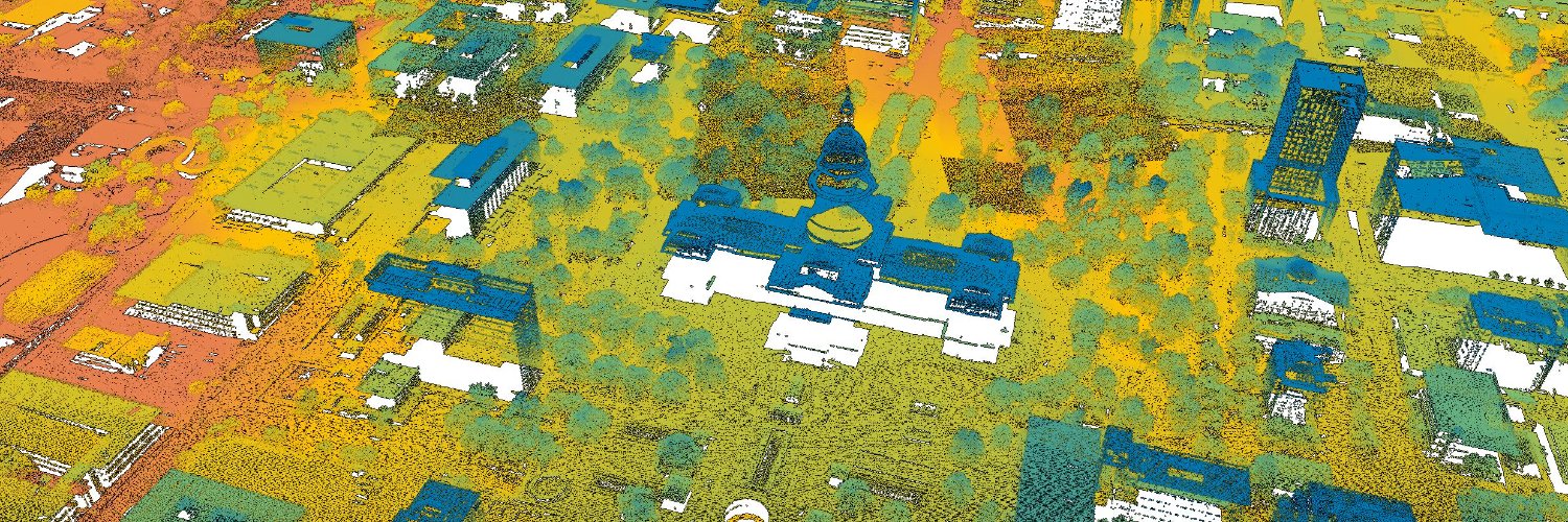
Don't miss it: the 3rd Quarter Texas GIS Community Meeting is happening next Wednesday, July 23! Register now 🔗 events.teams.microsoft.com/event/6e02f771…

Know someone in the Texas GIS Community who's pushing boundaries, inspiring others, and making an outstanding impact? Help us recognize their work by nominating them for the 2025 Texas GIS Luminary Award! Submission Deadline: September 12th. Details: geographic.texas.gov/texas-gis-foru…

Support the future of geospatial in Texas. Sponsor the Texas GIS Forum and connect with the state's GIS leaders, innovators, and decision-makers. Learn more: geographic.texas.gov/texas-gis-foru…

In June, our most downloaded historic imagery data collection was from 1938 - capturing Bexar County as it looked nearly a century ago! Explore the collection: data.geographic.texas.gov/collection/?c=…

ICYMI: New imagery is available through the Texas Imagery Service! High-resolution, statewide, and ready to use. If you're a participant it's already at your fingertips. If not - sign-up for a free trial here: geographic.texas.gov/texas-imagery-…

The Texas GIS Community is getting together on July 23! Join us (in-person or online) to catch up on what's happening across the state and be a part of the conversation. Register here: events.teams.microsoft.com/event/6e02f771…

Monitor real-time weather conditions on TexasFlood.org using these resources and more: 💧 Flood Decision Support Toolbox webapps.usgs.gov/infrm/fdst/?re… 💧 Flood Viewer map.texasflood.org/#/#/ 💧 TexMesonet texmesonet.org 💧 TxDOT's DriveTexas drivetexas.org
Texas spans 268,596 square miles and is captured in over 600+ maps in the TxGIO map catalog! Available for download at geographic.texas.gov/maps.

Turn back the clock to the summer of '62 and take a stroll down the Galveston shoreline. This and other historic imagery collections from USACE are being indexed and are coming soon to download. 📍Galveston, TX 📷 Historic Imagery

New Workshop Added: All About the Apps (ArcGIS) Hosted by @TxDOT, this hands-on session dives into app builders like StoryMaps, Dashboards, and Experience Builder so you can level up your ArcGIS Online skills. Register Now: geographic.texas.gov/texas-gis-foru…

What's coming to the stage this year? The 2025 Texas GIS Forum agenda is almost here: featuring sessions and standout moments you won't want to miss. Speaker announcements coming soon: geographic.texas.gov/texas-gis-foru…

The @TWDB has launched a water loss dashboard for users to explore water loss data at bit.ly/WaterLossDashb…. You can also explore data from the water use survey, water conservation plans, and water conservation plan annual reports at bit.ly/3HpsGkm. #TxWater
A 1950 imagery set of Zapata County was May's most downloaded historic imagery dataset! Explore 100 years of aerial imagery on the TxGIO DataHub: data.geographic.texas.gov 📍Zapata County 📷 Historic Imagery

Curious how to access our data? Join today's free PUG webinar at 12:00pm CT to get familiar with the TxGIO DataHub and DataWarehouse tools! Register + details: home-pugonline.hub.arcgis.com/events/accessi…
