D. Wilson
@ButteWxSpotter
Skywarn Spotter #BU36
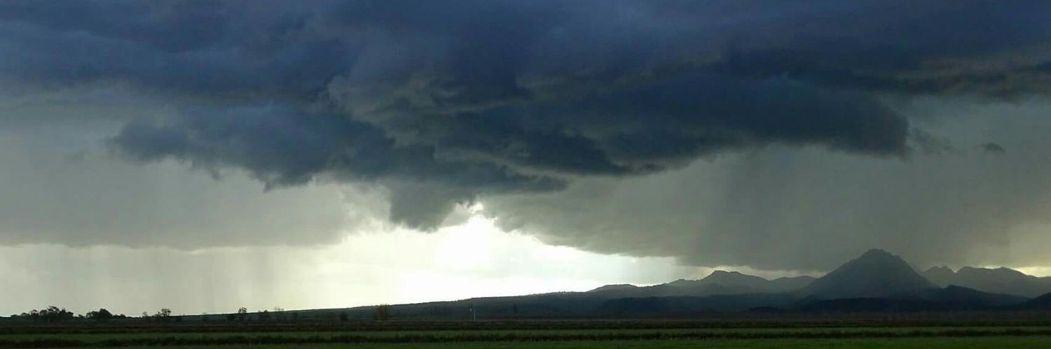
Thunderstorm probabilities for today show that the best chances are in the higher elevations, and portions of northern Shasta County. As with yesterday, some shower/storm development may occur in the Valley later this evening. #CAwx
#SPC issues Day 1 Isolated Dry Thunderstorm Fire Weather Risk at Jul 25, 16:06z for STO spc.noaa.gov/products/fire_…
STRONG THUNDERSTORMS WILL IMPACT NORTHWESTERN TEHAMA AND SOUTHWESTERN SHASTA COUNTIES THROUGH 915 PM PDT [wind: 30 MPH, hail: 0.25 IN] for Mountains Southwestern Shasta County to Western Colusa County, Northern Sacramento Valley, Shasta Lake Area / ... mesonet.agron.iastate.edu/p.php?pid=2025…
A special weather statement has been issued for Shasta CA, Keswick CA and Igo CA until 9:15 PM PDT
STRONG THUNDERSTORMS WILL IMPACT WESTERN SHASTA COUNTY THROUGH 830 PM PDT [wind: 30 MPH, hail: 0.25 IN] for Mountains Southwestern Shasta County to Western Colusa County, Northern Sacramento Valley, Shasta Lake Area / Northern Shasta County [CA] mesonet.agron.iastate.edu/p.php?pid=2025…
A special weather statement has been issued for Redding CA, Shasta Lake CA and Shasta CA until 8:30 PM PDT
A STRONG THUNDERSTORM WILL IMPACT NORTH CENTRAL SUTTERSOUTHERN BUTTE AND WEST CENTRAL YUBA COUNTIES THROUGH 815 PM PDT [wind: 30 MPH, hail: 0.25 IN] for Central Sacramento Valley [CA] mesonet.agron.iastate.edu/p.php?pid=2025…
A special weather statement has been issued for Live Oak CA until 8:15 PM PDT
The network issue has been resolved, and Starlink service has been restored. We understand how important connectivity is and apologize for the disruption.
A special weather statement has been issued for Plumas County, CA until 5:15 PM PDT #CAwx
A STRONG THUNDERSTORM WILL IMPACT NORTHEASTERN SHASTA COUNTY THROUGH 500 PM PDT [wind: 30 MPH, hail: 0.50 IN] for Burney Basin / Eastern Shasta County, Shasta Lake Area / Northern Shasta County [CA] mesonet.agron.iastate.edu/p.php?pid=2025…
A special weather statement has been issued for Fall River Mills CA and McArthur CA until 5:00 PM PDT
A STRONG THUNDERSTORM WILL IMPACT NORTHWESTERN PLUMAS [wind: 30 MPH, hail: 0.50 IN] for Western Plumas County/Lassen Park [CA] till 4:15 PM PDT mesonet.agron.iastate.edu/p.php?pid=2025…
A special weather statement has been issued for Chester CA, Hamilton Branch CA and Prattville CA until 4:15 PM PDT
Severe Thunderstorm Warning continues for Westwood CA and Clear Creek CA until 4:00 PM PDT
Starlink has now mostly recovered from the network outage, which lasted approximately 2.5 hours. The outage was due to failure of key internal software services that operate the core network. We apologize for the temporary disruption in our service; we are deeply committed to…
Starlink is currently in a network outage and we are actively implementing a solution. We appreciate your patience, we'll share an update once this issue is resolved.
Severe Thunderstorm Warning including Westwood CA and Clear Creek CA until 4:00 PM PDT
A special weather statement has been issued for Viola CA until 3:00 PM PDT
Starlink is currently in a network outage and we are actively implementing a solution. We appreciate your patience, we'll share an update once this issue is resolved.
11:22am CDT #SPC Day1 #FireWX Critical: portions of northern california spc.noaa.gov/products/fire_…